
Loulé
An inland Algarve town built around a Moorish castle, Loulé has long been a trading centre for the surrounding hills and coast, known for its market halls, craft workshops and whitewashed old quarter.
Loulé stands on a hill roughly ten kilometres inland from the Algarve coast, in the district of Faro. It is the seat of the region's largest municipality, a territory that runs from the Atlantic shoreline up through the limestone hills of the barrocal to the wooded ridges of the Serra do Caldeirão. The town itself sits above a shallow basin of almond, fig and carob groves, and its historic centre remains compact enough to walk in an afternoon. Loulé is a working administrative and commercial town rather than a resort, and that everyday character is part of what makes it distinctive.
Location and general character
The city lies at an elevation of over one hundred metres, which gives it slightly cooler nights than the coast and wide views towards the sea from its higher streets. The municipality covers some 764 square kilometres, making it the most extensive in the Algarve, and it is divided into nine civil parishes. These range from densely built coastal parishes such as Quarteira and Almancil to sparsely populated inland ones including Alte, Salir and Ameixial. The 2021 census recorded a municipal population of around 72,000, concentrated overwhelmingly in the south.
The climate is Mediterranean, with hot, dry summers and mild, relatively wet winters. Rain usually falls between October and March, feeding the ribeiras that drain the basin towards the coast. Because Loulé is the administrative centre for this large and varied area, its streets carry a steady flow of shoppers, civil servants, schoolchildren and farmers rather than the seasonal rhythm of the seaside towns.
History
Traces of Roman occupation have been found in the municipality, most visibly at the fishing and fish-salting complex of Cerro da Vila in Vilamoura, and the settlement was already of some importance when Moorish rule arrived in the eighth century. Under Muslim administration the town was known as al-Ulva, generally understood as 'the top of the hill', and it developed as a trading post between the interior and the coast.
Loulé was taken during the Christian reconquest in 1249, in the reign of Afonso III, and received its charter in 1266. In 1291 King Dinis established a fair here, a decision that fixed the town's role as the commercial hub of the region for centuries afterwards. Being inland, Loulé did not share directly in the wealth generated by Portuguese overseas expansion, though Manueline detailing survives in several of its churches. Its economy rested instead on agriculture, especially dried fruit, and on craft production. The Lisbon earthquake of 1755 caused considerable damage, and the nineteenth century brought emigration as well as a modest revival in the almond and fig trade. Loulé was elevated to city status in 1988.
Architecture
The old medina was enclosed by walls, and fragments of them survive between later houses, along with several towers. The most conspicuous is the Torre Albarrã facing Rua da Barbacã, a solid masonry tower dating from the late medieval period. The castle was rebuilt in the thirteenth century on earlier foundations, and its perimeter now contains the municipal museum, whose collections cover the prehistoric, Roman and Islamic periods. Excavations in the town centre also uncovered the remains of an Islamic bathhouse, a rare survival in Portugal.
Among the churches, São Clemente is the mother church, with medieval origins and later rebuilding, while the Misericórdia preserves a carved Manueline portal. The Convento da Graça, founded by Franciscans from Andalusia in the thirteenth century, is an unusual example of mendicant architecture in the Algarve and is used today for cultural exhibitions. The town's best-known building, however, is the municipal market, opened in 1908 to a design by the Lisbon architect Alfredo Costa Campos. Its horseshoe arches, tiled interior and iron roof give it a revivalist, loosely Moorish appearance that has become the image of the town. Elsewhere, the centre is a tangle of steep cobbled lanes, low whitewashed houses, tile-fronted facades and small squares.
Natural surroundings
North of the town the land rises into the Serra do Caldeirão, covered in cork oak, maritime pine and strawberry tree, with scattered hamlets and terraced plots. Between the mountains and the coast lies the barrocal, a band of limestone hills where almonds, olives, carobs and figs have long been cultivated. Two protected sites lie within easy reach: the Fonte Benémola, a spring-fed valley cut by the ribeira de Menalva with willow, ash and oleander along the water, and the Rocha da Pena, a limestone ridge near Benafim with cliffs, caves and a network of footpaths. In the southern parishes, the municipality also takes in part of the Ria Formosa, the lagoon system protected as a natural park and recognised as a wetland of international importance for migrating and wintering birds.
Local culture
Market life remains central. The covered market trades through the week apart from Sundays, and on Saturday mornings a much larger open-air fair spreads out with produce, tools, clothing and household goods from across the region. Craft work has continued alongside it: palm-leaf and esparto weaving, copper and wrought-iron work, ceramics, basket making and textile crafts, supported in recent years by workshops and studios in the old town that allow visitors to watch or try the techniques.
The town's calendar is dominated by two events. Loulé's Carnaval, held in February, is among the best known in Portugal, with parades of decorated floats and satirical groups through the streets. The Festa da Mãe Soberana, honouring Nossa Senhora da Piedade, begins at Easter and culminates a fortnight later in a procession that draws pilgrims from across the Algarve and beyond. Local food follows the interior's larder: almonds in pastries and biscuits, dried figs, carob, honey and mountain herbs, alongside the fish and shellfish brought up from the coast.
Notable places
- Castle and municipal museum – ruined walls, a walkable tower and archaeological collections in the heart of the old town.
- Municipal market – the 1908 hall with its arched arcades and tiled interior, still the town's commercial and social focus.
- Igreja de São Clemente and Igreja da Misericórdia – the principal parish church and a smaller church with a carved Manueline doorway.
- Convento da Graça – a thirteenth-century Franciscan foundation, now used for exhibitions and events.
- Ermida de Nossa Senhora da Piedade – a chapel on the hill above the town, the goal of the Mãe Soberana pilgrimage and a viewpoint over the basin.
- Historic cafés and squares – including a café on the main square that has served the town since the 1920s.
Nearby destinations
Almancil, a short drive south, is known for the baroque church of São Lourenço, its interior lined with blue and white tiles. Beyond it lie Quarteira's seafront and the marina and Roman site at Vilamoura. Inland, Alte is a whitewashed village on the ribeira de Alte with old watermills and natural rock pools nearby, while Salir and Querença are quieter hill settlements with castle remains and rural traditions of their own. Faro, the regional capital and airport, is about twenty kilometres to the south-east, and São Brás de Alportel and Silves lie within easy reach to the north-east and west respectively.
Related content
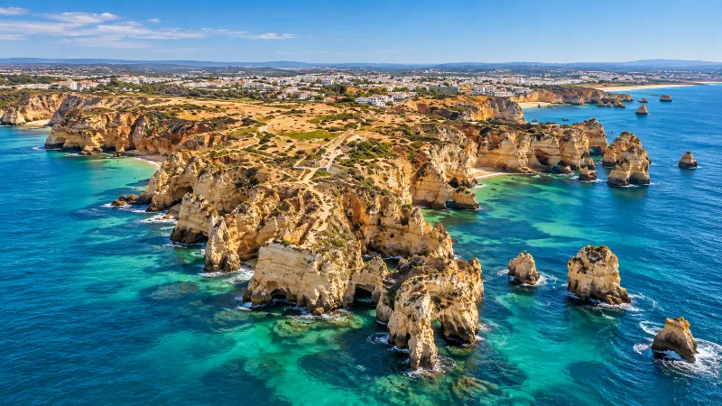
Algarve
Explore the Algarve through sandy beaches, limestone cliffs, Faro, Ria Formosa, coastal trails, historic towns and southern Portuguese landscapes.
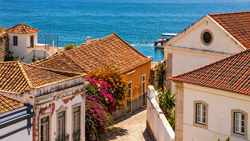
Faro
Faro is the Algarve’s regional capital, combining a walled old town, historic architecture and direct access to the Ria Formosa lagoon.
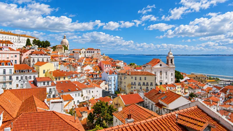
Lisbon
Portugal’s capital combines historic neighbourhoods, river views, tiled façades, viewpoints and an energetic everyday city life.