
Olhão
A working fishing town on the eastern Algarve coast, Olhão grew up between the Ria Formosa lagoon and the mainland, and is known for its iron-and-glass market halls, whitewashed rooftop terraces and ferry links to the barrier islands.
Olhão lies on the eastern stretch of the Algarve coast, around ten kilometres east of Faro, with its waterfront facing the channels and sandbanks of the Ria Formosa. Roughly 44,600 people live in the municipality, most of them in the continuous built-up area that runs from the old fishermen's beach inland towards Quelfes and Pechão. Visitors arrive in growing numbers, yet the town still works for a living: the harbour is used by fishing boats rather than pleasure craft alone, and the market halls fill early each morning before the heat builds.
A coastal town shaped by the lagoon
The municipality covers about 131 square kilometres of flat coastal plain, salt marsh and built-up land. Its southern edge is the Ria Formosa itself; inland, the ground rises gently through Quelfes and Pechão towards Moncarapacho and the foothills of the Serra do Caldeirão. Because the barrier islands lie offshore, the water in front of the town is shallow and sheltered, and the streets behind the quays are rarely more than two storeys high. From the water, Olhão reads as a long white frontage rather than a skyline. The climate is dry and mild, with hot summers, short winters and a rainfall pattern typical of the Algarve's eastern coastal strip.
From fishing beach to self-governing town
The oldest written reference to a place called Olham dates from 1378, but the settlement itself took shape in the early seventeenth century, when fishermen from Faro settled beside a strong freshwater spring — the olhão, or big eye, that gave the place its name — and a channel giving direct access to the sea. Faro's council resisted the growth of masonry housing here, and for decades most families lived in thatched cabins. Olhão became a separate parish in 1695, and a new parish church was begun in 1698 and opened for worship in 1715. A royal decree of 1715 finally allowed stone-and-lime houses, and the village expanded quickly through fishing, coastal shipping and trade with North Africa.
In June 1808 the town rose against the French occupation, driving the garrison out and setting off a wider revolt across the Algarve. Seventeen men then sailed a small caíque, the Bom Sucesso, across the Atlantic to Rio de Janeiro to tell the exiled Prince Regent what had happened; they reached Brazil in September. In recognition, Olhão was raised from a place to a town and given the name Vila de Olhão da Restauração, along with a medal and privileges for its inhabitants. It became an autonomous municipality in 1826 and was elevated to city status in 1985.
White walls, flat roofs and rooftop towers
Olhão's best-known architecture is domestic rather than monumental. The old quarters of Barreta, to the west, and Levante, to the east, are made up of narrow lanes lined with whitewashed houses whose first floors are covered by flat terraces, the Algarvean açoteias. Many carry a small box-like room on the roof, the mirante, sometimes with a second volume behind it, reached by an outside staircase. The terrace floors are laid with brick tiles and edged with low parapets, while the roofline is broken by tall chimneys with bulbous tops. The form is partly practical: low rainfall means flat roofs shed water well, and the terrace provided space to dry fish and fruit, keep chickens and sleep outside on summer nights. Long-distance fishing and trading voyages to Morocco are often cited as another influence on these compact, cube-like houses, which have given Olhão the nickname of the cubist town.
The Ria Formosa and the barrier islands
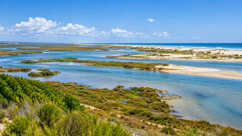
The lagoon in front of the town forms part of the Ria Formosa, a system of tidal channels, mudflats, salt pans and sandbanks stretching along roughly 60 kilometres of coast between the Ancão peninsula and Cacela. It was designated a natural park in 1987 and is a stopover on the migration route between northern Europe and West Africa, with large numbers of waders, terns, spoonbills and, in the salt pans during autumn and winter, flocks of greater flamingos. On the western edge of the municipality, the Quinta de Marim environmental centre has waymarked paths, bird hides, a tidal watermill and boardwalks crossing the marshes.
The barrier islands themselves — Armona, Culatra and Farol — are low, sandy and free of cars, reached by passenger ferries that leave from the quay beside the markets. Armona is the closest and has a long ocean beach on its southern side; Culatra and Farol have small year-round communities, mostly of fishing families, with their own schools and cafés. On the mainland, the beaches of Fuseta and its island opposite form the eastern end of the same system.
Working life and local culture
Fishing remains the reference point for local identity. Sardines, octopus, clams, razor clams and other shellfish from the lagoon are landed at the harbour and sold through the daily auction, and cataplana, a seafood stew cooked in a hinged copper pan, appears on almost every restaurant menu in town. The fish hall of the municipal market is busiest soon after dawn, and on Saturdays growers set up stalls outside with fruit, vegetables, honey and plants. Olhão is a town of parishes and neighbourhoods rather than a resort: processions, football clubs and local associations still organise much of its social life, and a sizeable foreign-resident population — nearly 3,900 people in 2021 — shares the same streets.
Notable places
The two market halls on Avenida 5 de Outubro are the town's emblem. Begun in 1912 and opened in 1916, they stand on brick arches and piles built out over the old fishermen's beach, and consist of two identical pavilions of iron and glass, faced in exposed brick, with round corner turrets capped by metal cupolas. They were restored in the late 1990s and are listed as a monument of public interest.
Behind the market square, the Igreja Matriz de Nossa Senhora do Rosário has a tall rococo façade and one of the highest altarpieces in the Algarve; the smaller chapel of Nossa Senhora da Soledade, begun as a hermitage in the early seventeenth century, stands nearby. The Casa do Compromisso Marítimo, completed in 1771 as the headquarters of the fishermen's brotherhood, now houses the municipal museum, and the Largo da Restauração holds a monument to the men of 1808. A replica of the Bom Sucesso is moored by the markets, and the waterfront garden, the Jardim Pescador Olhanense, runs along the quay towards the old customs house.
Nearby destinations
Faro, with its old town, cathedral and airport, is a short train or bus ride west, and the railway line also runs east to Fuseta, Tavira and Vila Real de Santo António. Fuseta, within the same municipality, has a fishing quarter of its own and a ferry to the eastern end of Armona. Inland, Moncarapacho and Quelfes hold parish churches and agricultural land, while São Brás de Alportel, in the hills to the north, marks the beginning of the Serra do Caldeirão. The A22 motorway and the Linha do Sul railway make Olhão an easy base for exploring the whole eastern Algarve.
Related content
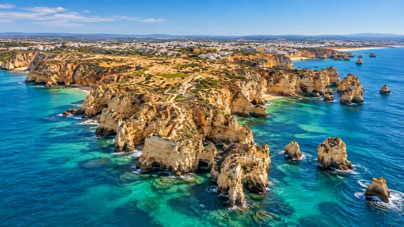
Algarve
Explore the Algarve through sandy beaches, limestone cliffs, Faro, Ria Formosa, coastal trails, historic towns and southern Portuguese landscapes.
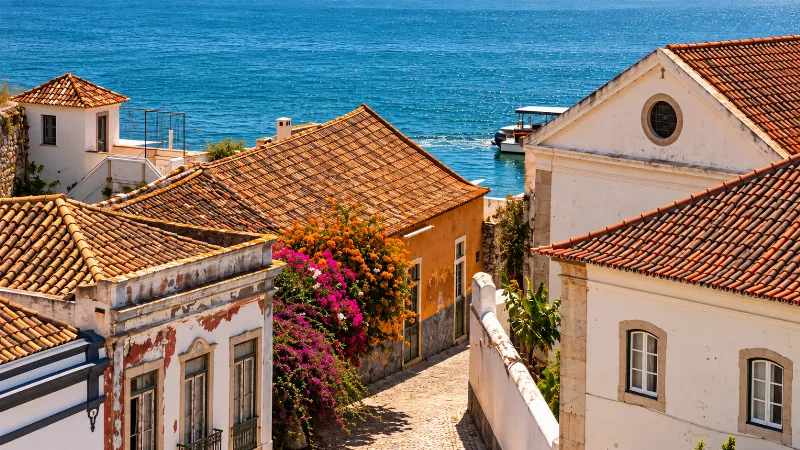
Faro
Faro is the Algarve’s regional capital, combining a walled old town, historic architecture and direct access to the Ria Formosa lagoon.
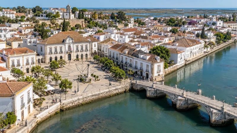
Tavira
Tavira is an eastern Algarve town with whitewashed streets, riverside squares, historic churches and access to the island beaches of Ria Formosa.
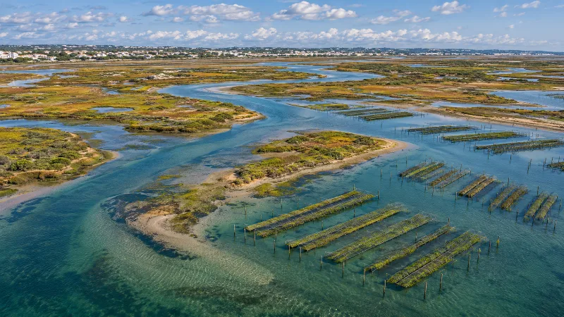
Ria Formosa – Lagoons and Barrier Islands of the Algarve
Ria Formosa is a coastal lagoon system in the Algarve, with barrier islands, salt marshes, sandy beaches and diverse birdlife.
Ria Formosa Natural Park in the Algarve
Explore the lagoons, barrier islands, wetlands, birdlife and coastal destinations of Ria Formosa Natural Park in southern Portugal.
Tavira
A historic town on the River Gilão in Portugal's eastern Algarve, shaped by a long maritime past, a skyline of church towers and the salt marshes of the Ria Formosa.