
Madeira's Levada Trails and Laurel Forest
Madeira's levadas are narrow water channels that thread through the island's mountains, and the paths beside them lead walkers into the Laurisilva, a UNESCO-listed laurel forest of mist, moss and ancient trees.
Madeira's levadas are the narrow water channels that carry rain from the wet, cloud-covered north of the island to the drier south, and the footpaths that run beside them have become one of the most characteristic ways to explore the interior. Many of these routes pass through the Laurisilva, the humid subtropical laurel forest that cloaks much of Madeira's central and northern uplands and is inscribed on the UNESCO World Heritage List. Together, the channels and the forest give the island a walking landscape found nowhere else in Portugal.
The Water Channels That Shape the Island
Madeira rises steeply from the Atlantic, and its rainfall is unevenly distributed: the northern slopes receive far more moisture than the sheltered south. To make agriculture possible, islanders began cutting channels into the hillsides centuries ago, guiding water along contour lines to irrigate terraced fields, orchards and small plots of vines, sugarcane and bananas. The earliest works date from the period of settlement, and the network was extended over the following centuries, reaching its greatest extent in the twentieth century with the addition of channels serving small hydro-electric stations.
Built by hand from basalt and volcanic stone, levadas follow gentle gradients across ravines and cliffs, sometimes tunnelling through rock and sometimes running as open troughs beside the path. Their narrow, level course makes them unusually easy to walk compared with the island's steep mountainsides, which is one reason they have become so popular with visitors.
The Laurisilva: Madeira's Laurel Forest
The Laurisilva is a relict of the humid forests that covered southern Europe and the Mediterranean region many millions of years ago, before the climate became drier. Madeira's example is one of the largest surviving expanses of its kind, covering a substantial part of the island and protected as a nature reserve as well as a World Heritage Site.
The forest is dominated by evergreen broadleaved trees: the Canary laurel, the til, the vinhático or Madeiran mahogany, and the Madeira holly, with a second layer of heather, whortleberry and ferns beneath. Because the trees are almost always in leaf, the canopy keeps the air still and damp, and the moisture carried in from the Atlantic is captured by the foliage and released slowly into the soil. Mosses, lichens and liverworts coat trunks and rocks, and the light filtering through the leaves has a soft green quality that walkers often remark on.
Walking the Levada Trails
Several well-known routes show the relationship between water and forest. From Queimadas, near Santana, a path leads through laurel woodland towards the Caldeirão Verde, a natural amphitheatre with a waterfall dropping into a small pool. At Ribeiro Frio, a short and mostly level trail reaches the Balcões viewpoint, where the Ribeira da Metade valley opens out towards the central peaks. In the Rabaçal area, paths link the waterfalls of the Risco and the Twenty-Five Springs, and on the north coast the Levada do Rei runs from São Jorge into wooded countryside.
Longer itineraries follow channels for many kilometres, passing through tunnels where a torch is needed and along ledges cut into the rock. Waymarks in red and yellow generally indicate official routes, and signboards at trailheads give an idea of distance and terrain.
Wildlife and Plant Life Along the Channels
The damp forest shelters species found only on Madeira. The Trocaz pigeon, a dark woodland bird with a silvery neck patch, feeds on laurel and til berries, while the tiny Madeira firecrest with its striped head is more often heard than seen. Blackcaps, chaffinches and grey wagtails are common near water, and the island's small lizard may be spotted sunning itself on warm stones beside the channel. Ferns crowd the banks, and in spring the forest floor carries orchids and the pale Madeiran geranium.
Practical Considerations for Walkers
Weather in the uplands changes quickly, and cloud or drizzle can arrive without warning, so layered clothing and footwear with a good grip are sensible. Some channels run beside unprotected drops, and tunnels require a reliable torch. Walkers are encouraged to stay on marked paths, to avoid walking in the water channels themselves, which supply farms and settlements below, and to leave no litter. Sections of trail may close after heavy rain or for maintenance, and local information points can confirm which routes are open on the day.
Related content
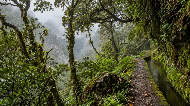
Laurissilva Forest – Madeira’s Ancient Subtropical Forest
Madeira’s Laurissilva is a remarkable native laurel forest and UNESCO-listed natural landscape with humid valleys and mountain paths.
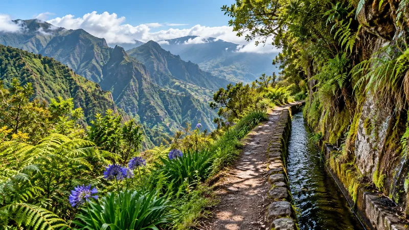
Walk a Levada in Madeira
Discover Madeira’s mountain landscapes on a levada walk through forest, valleys and steep terrain shaped by the island’s historic water channels.
Natural Wonders of Madeira Island
Explore natural wonders of madeira island with a practical guide to notable places, regional landscapes, local heritage and travel planning in Portugal.
Best Beaches on Madeira Island
Explore best beaches on madeira island with a practical guide to notable places, regional landscapes, local heritage and travel planning in Portugal.
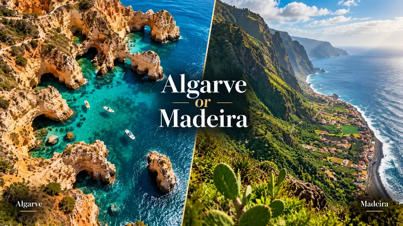
Algarve or Madeira: Which Is Better for Your Trip?
The Algarve and Madeira both offer warm-weather escapes, but they differ greatly in beaches, scenery, hiking, driving, towns and overall travel style.
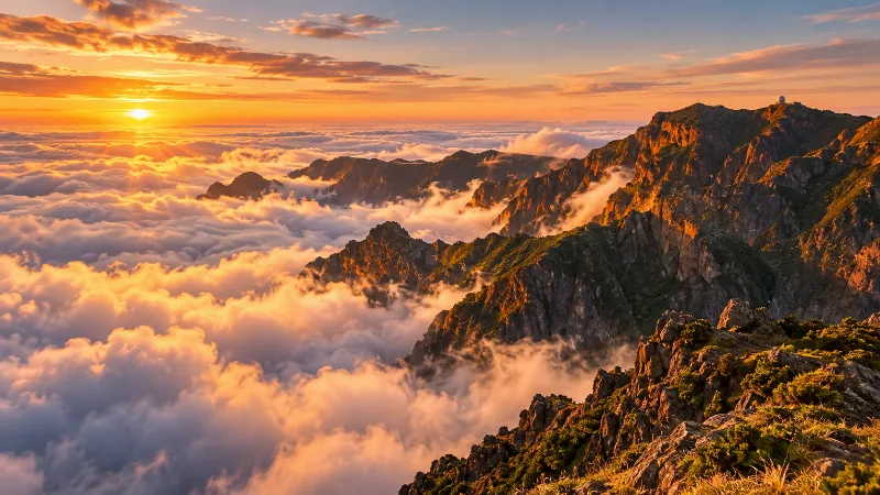
Madeira
Explore Madeira through Funchal, dramatic mountains, levada walks, subtropical gardens, volcanic coastlines and distinctive Atlantic island landscapes.
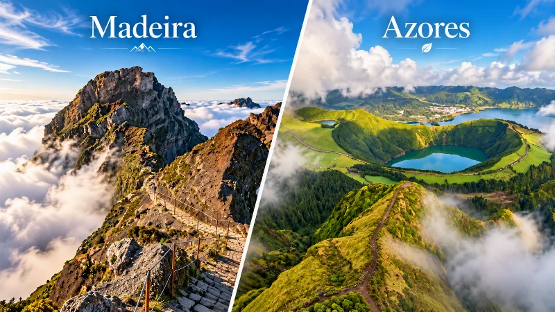
Madeira or Azores: Which Islands Should You Choose?
Madeira and the Azores offer very different Atlantic island experiences, from hiking and volcanic scenery to weather, transport, towns and travel style.