
Peneda-Gerês National Park and its Mountain Villages
Granite peaks, oak woods and stone-built settlements give Peneda-Gerês its particular character. An introduction to Portugal's only national park and the villages scattered through it.
Peneda-Gerês is Portugal's only national park, a mountainous territory of roughly 700 square kilometres in the far north-west of the country, close to the Spanish frontier. It takes its name from two of its ranges, the Serra da Peneda and the Serra do Gerês, and extends across parts of the districts of Viana do Castelo, Braga and Vila Real. Granite summits, wooded valleys, fast rivers and small stone villages sit close together here, which is why the area is often described as a lived-in landscape rather than a wilderness set apart from people.
Where the Park Lies and How the Land Was Formed
The park forms a broad arc along the border with Galicia, and on the Spanish side it continues as the Serra do Xurés; the two areas together are recognised as a transboundary biosphere reserve. The mountains are built of granite, the same hard, coarse rock that appears throughout the region as boulders, field walls, gateposts, threshing floors and roof supports. The ranges were raised and fractured over a very long geological history, and the rivers — the Cávado, Lima, Homem and Laboreiro among them — have cut narrow, steep-sided valleys along the lines of weakness in the rock.
Higher up, the effects of past glaciation remain visible: rounded rock pavements, hollows now filled with small dark lakes, and valleys smoothed into broad U-shaped profiles. These features give the Gerês highlands a distinctly alpine feel, unusual in a country better known for its Atlantic coast and warm interior plains.
Granite Scenery, Water and Woodland
Woodland covers much of the lower and middle ground. Pyrenean oak, English oak, birch, holly and yew grow on the shaded slopes, with pines on the higher ridges and heather, gorse and broom on the open tops. In late spring the park's best-known botanical rarity, the Gerês iris, flowers in damp upland meadows; it occurs only in these north-western mountains and a few neighbouring ranges across the border.
Water is a constant presence. Streams drop over granite ledges into clear pools, and there are waterfalls such as the Cascata do Arado and the cascade below the old monastery at Pitões das Júnias. Two large reservoirs, Vilarinho das Furnas and Paradela, hold back the Homem and the Cávado. The first of these covers a village of the same name, abandoned before the dam was completed in the early 1970s; an ethnographic centre on the shore keeps its memory and records the community's unusual system of shared land ownership.
The Mountain Villages of Peneda-Gerês
Settlements inside the park are small, built almost entirely of granite and roofed with slate or tile. Many grew around a chapel, a communal oven and a set of granaries, and they were linked to one another by paths and droves that are now waymarked walking routes. Farming here has always been a matter of small plots, rye and potatoes on the higher ground, maize and vines lower down, and cattle moved between pastures with the seasons.
Soajo and its Granaries
Soajo stands on a hillside above the Lima valley, in the municipality of Arcos de Valdevez. On a granite platform just above the houses is a fine group of espigueiros, the raised granaries used for drying and storing maize: narrow stone buildings set on pillars, with slotted walls that let the air pass through and stone discs on the pillars to keep rodents out. Several carry carved dates from the eighteenth and nineteenth centuries. The village itself has narrow lanes, a pillory, a small church and houses that seem to grow directly out of the rock.
Lindoso: Castle and Granaries
Further up the Lima, Lindoso guards an old crossing point on the road towards Galicia. Its castle is of medieval origin, with a walled enclosure and a keep from which the river valley and the Spanish hills beyond can be seen. Close by stands one of the largest collections of espigueiros in the Iberian Peninsula, arranged in rows on open ground and still used by local families.
Castro Laboreiro and the Brandas
In the municipality of Melgaço, the village of Castro Laboreiro occupies a high, windswept plateau of moorland and rock. A castle sits on a rocky outcrop above the houses. The area is known for a seasonal pattern of settlement: families once moved in summer to brandas, hamlets on the high pastures, and returned in winter to inverneiras in the sheltered valleys below. Many of those summer houses now stand empty, but the place names and the small stone buildings remain as evidence of a way of life organised around grazing.
Pitões das Júnias and the High Moorland
Pitões das Júnias, in the municipality of Montalegre, is among the highest villages in Portugal, set on open country where rye fields, stone walls and grazing cattle dominate the view. Below the village, in a wooded ravine, lie the ruins of the medieval Benedictine monastery of Santa Maria das Júnias, with a waterfall close at hand. The combination of upland plateau, deciduous woodland and running water makes this one of the park's most distinctive corners.
Sistelo and its Terraces
Above the river Vez, the slopes around Sistelo have been terraced with dry-stone retaining walls over many generations, creating a green staircase of small fields for maize and vines. The village is sometimes called the little Tibet of Portugal, a nickname prompted by the steepness of the terraces and the isolation of the valley rather than by any resemblance of climate.
Wildlife and Walking
The park supports a range of wildlife that is rare elsewhere in Portugal. The Iberian wolf survives here in small numbers and is seldom seen; roe deer, wild boar and otter are more likely encounters, along with raptors and woodland birds. On the high ground, herds of Garrano ponies and dark-coated Barrosã cattle graze the open pastures, maintained by breeders as part of the traditional rural economy.
Walking is the best way to appreciate the landscape. A network of waymarked paths, from short village circuits to long-distance routes crossing the ranges, links settlements, bridges, mills and viewpoints. Rivers have small sandy beaches used for swimming in summer, and the reservoirs offer gentler waterside routes.
Local Produce and Rural Life
Farming and herding still shape the park's economy and its cooking. Barrosã beef, kid and goat are prepared simply, often roasted or stewed with rice; rye bread is baked in communal ovens; and smoked sausages, cured pork, chestnuts, honey and goat's cheese appear on tables across the region. Maize, introduced centuries ago, became central to upland agriculture and explains the number of granaries in the villages.
The park is reached by winding roads from Vila do Gerês, Arcos de Valdevez, Ponte da Barca, Melgaço and Montalegre, and the settlements around its edges make natural starting points for exploring the interior. What distinguishes Peneda-Gerês is the closeness of its parts: a wolf's track on a path used by cattle, a ruined monastery beneath a working rye field, a granary older than the house beside it.
Related content
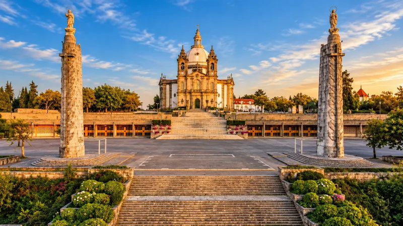
Braga
Braga is a historic northern city known for religious heritage, elegant squares, baroque architecture and a lively modern centre.
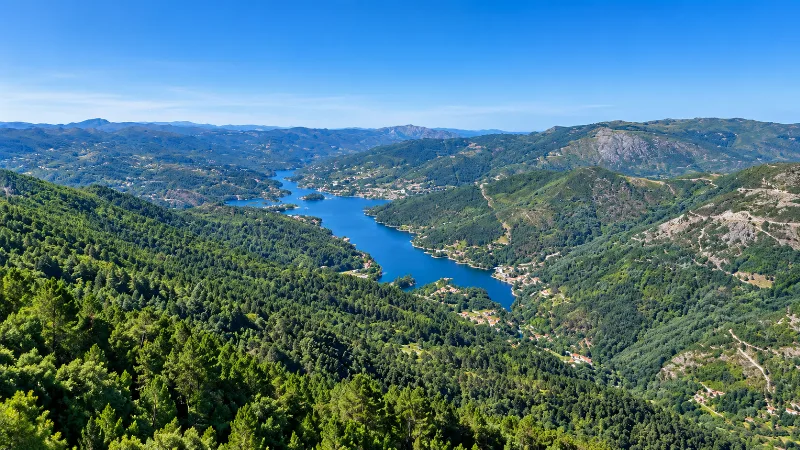
Peneda-Gerês National Park
Portugal’s only national park combines granite mountains, forests, rivers, traditional villages, wildlife and extensive walking landscapes in the far north.
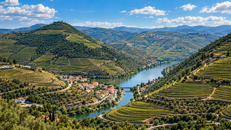
Northern Portugal
Explore Porto, the Douro Valley, Braga, Guimarães, Peneda-Gerês and the green landscapes, food traditions and historic cities of northern Portugal.
Exploring Peneda-Gerês National Park
Explore exploring peneda-gerês national park with a practical guide to notable places, regional landscapes, local heritage and travel planning in Portugal.
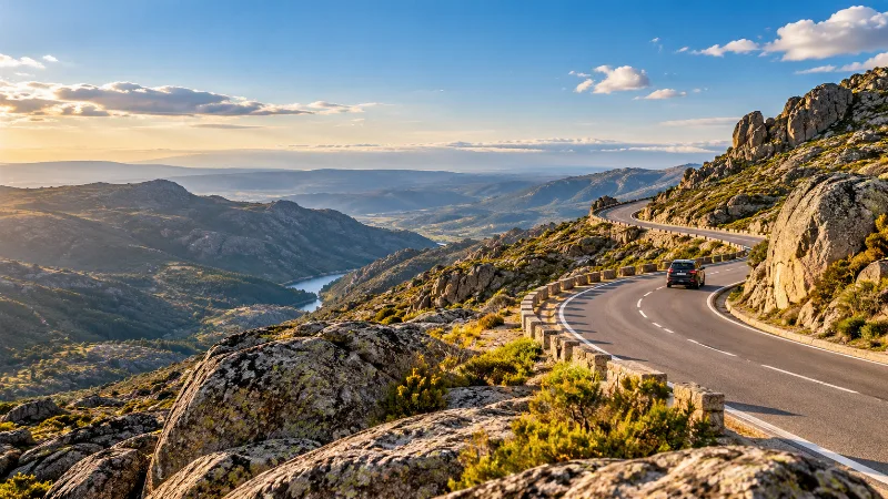
Driving in Portugal
Driving gives travellers access to rural Portugal, small villages, beaches and mountain regions, but tolls, parking and local road conditions require planning.
Portugal Without a Car: How Easy Is It?
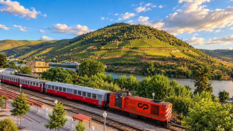
Portugal can be explored without a car if you focus on major cities and rail corridors, but rural regions, remote beaches and mountains require more planning.
Getting Around Portugal
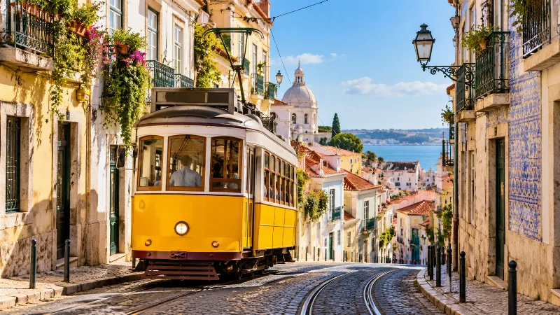
Portugal is easy to explore with a mix of trains, buses, metro systems, ferries, domestic flights and rental cars, depending on the route.
Portugal by Train
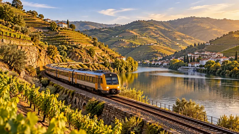
Portugal’s rail network connects many major cities and provides a comfortable way to travel between Lisbon, Porto, Coimbra, Braga, Aveiro and the Algarve.