
Ria Formosa Lagoon and Barrier Islands in the Eastern Algarve
The Ria Formosa is a tidal lagoon stretching along the eastern Algarve coast, sheltered by a chain of low sandbar islands and fringed with salt marshes that draw wading birds and shellfish gatherers alike.
The Ria Formosa is a shallow coastal lagoon that runs for roughly sixty kilometres along the eastern Algarve, from the Ancão inlet west of Faro to the sandy stretches near Cacela Velha in the east. It is not a single sheet of water but a shifting system of channels, sandbanks, mudflats and low islands that changes shape with every tide. Much of it lies within the Parque Natural da Ria Formosa, a protected area of some eighteen thousand hectares established in 1987, which balances conservation with the fishing, shellfish farming and salt production that have long sustained local communities.
A lagoon shaped by tides
The Ria Formosa owes its character to a generous tidal range, among the larger ones found along the Portuguese coast. At low water, extensive mudflats and sandbanks emerge, dividing the lagoon into narrow channels and shallow basins; at high tide, much of that ground disappears beneath a few metres of water. Narrow inlets connect the lagoon to the open Atlantic, allowing seawater to flow in and out twice a day and keeping the water sheltered but never still. This constant exchange produces a mosaic of habitats: sandy bottoms, seagrass meadows, muddy creeks and saline pools, each supporting different forms of life.
The barrier islands
Separating the lagoon from the ocean is a chain of long, flat islands and peninsulas, built from sand carried by currents and wind. From west to east they include the peninsula at Praia de Faro, the Ilha da Barreta, better known as the Ilha Deserta, the Ilha da Culatra, the Ilha da Armona, the Ilha da Fuseta, the Ilha de Tavira and the Ilha de Cabanas. None rises more than a few metres above sea level. Their ocean-facing shores carry broad beaches and low dunes bound by marram grass, while their inner shores slope gently into the lagoon. Some hold small year-round settlements of whitewashed houses, reached by ferry; others remain almost empty, with nothing but sand, dune vegetation and the sea on both sides.
Salt marshes, mudflats and seagrass
On the landward side of the lagoon, salt marshes spread across the quieter stretches of shoreline. Cordgrass, glasswort and sea lavender colour the marsh in bands of green, grey and russet through the year, and the roots of these plants trap sediment, slowly building new ground. Beneath the shallow water, beds of seagrass shelter juvenile fish, crabs and small invertebrates. The lagoon is also known for its seahorses, which live among the seagrass and algae, and for the shellfish that thrive in its nutrient-rich waters: clams, oysters and razor clams are cultivated here and gathered by hand at low tide, a practice that shapes the working rhythm of several villages around the shoreline.
Birdlife of the Ria Formosa
The lagoon is one of Portugal's most important sites for waterbirds, a stopping point on migration routes between northern Europe and Africa as well as a wintering ground. Little egrets and grey herons stalk the creeks, avocets sweep their bills through the shallows, and black-tailed godwits and dunlins gather in dense flocks on the mudflats. Spoonbills, flamingos and Caspian terns appear in season, while Kentish plovers and oystercatchers nest on the drier sand and shell banks. The islands are equally important for breeding gulls and terns, including Audouin's gull, which nests in only a few places in Europe.
Towns and traditions around the water
The lagoon has shaped the towns along its edge. Faro, the regional capital, looks across the water from a compact old town enclosed by medieval walls, with a cathedral and a chapel lined in bone. Olhão, a few kilometres east, grew around fishing and still holds a lively market where boats unload their catch beside white, flat-roofed houses. Further east, Tavira spreads along a river beneath a Roman bridge and a cluster of churches, with salt pans and tuna-fishing history woven into its past. Smaller places such as Fuseta, Santa Luzia and the clifftop hamlet of Cacela Velha keep a quieter character, their quays and tiled houses facing the channels.
Ways to appreciate the landscape
Walking is one of the simplest ways to understand the lagoon. Paths near Quinta do Lago, Ludo and the Salinas do Grelha pass salt pans and mudflats where birds feed close to the shore. Cycling routes link Faro and the surrounding villages along flat roads, and marked trails cross the marshes on raised boardwalks. Small ferries and traditional boats carry passengers to the islands, where the contrast between calm inner water and the Atlantic surf is immediate. Kayaking and birdwatching excursions offer closer views of the channels without disturbing them. Visitors who allow the tide to set the pace, watching the same stretch of water empty and refill, will see why the Ria Formosa is regarded as one of the most distinctive coastal landscapes in southern Portugal.
Related content
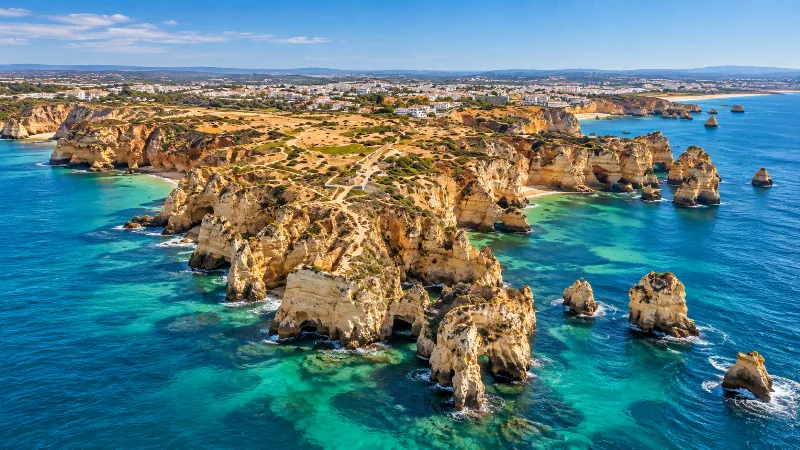
Algarve
Explore the Algarve through sandy beaches, limestone cliffs, Faro, Ria Formosa, coastal trails, historic towns and southern Portuguese landscapes.
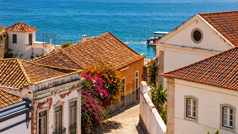
Faro
Faro is the Algarve’s regional capital, combining a walled old town, historic architecture and direct access to the Ria Formosa lagoon.
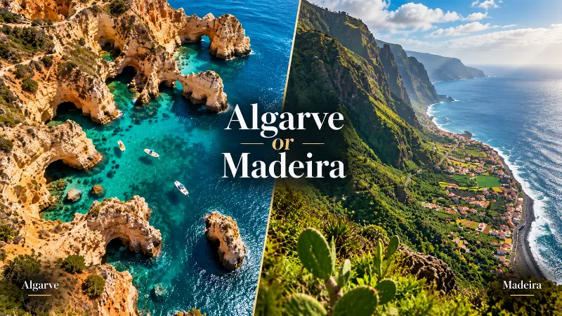
Algarve or Madeira: Which Is Better for Your Trip?
The Algarve and Madeira both offer warm-weather escapes, but they differ greatly in beaches, scenery, hiking, driving, towns and overall travel style.
Exploring the Ria Formosa Natural Park
Explore exploring the ria formosa natural park with a practical guide to notable places, regional landscapes, local heritage and travel planning in Portuga