
Vila Nova de Gaia
Facing Porto across the Douro, Vila Nova de Gaia combines port wine warehouses, a circular-planned hilltop monastery and a long Atlantic coastline within one large, varied municipality.
Gaia is the city on the southern side of the Douro, looking straight across at the densely built slopes of Porto. For most visitors it is a place of two halves: the busy quays where port wine has been stored and shipped for centuries, and the quiet upper town around the ruins of an old castle. Beyond these, the municipality stretches west to the Atlantic and south into countryside, giving it a character quite different from the historic centre it faces.
Location, size and general character
The municipality covers roughly 168 square kilometres and has around 300,000 residents, making it the most populous council in northern Portugal and the third most populous in the country. It is divided into fifteen parishes and is bordered by Porto to the north, Gondomar to the north-east, Santa Maria da Feira and Espinho to the south, and the Atlantic Ocean to the west. Because it is the largest municipality in the Greater Porto area, its landscape varies sharply: the riverside parishes of Santa Marinha and Oliveira do Douro, together with the busy residential districts of Mafamude and Canidelo, hold most of the urban population, while inland parishes such as Sandim, Olival and Crestuma remain markedly rural, with smallholdings, woodland and stone villages.
The built-up area climbs a steep escarpment from the river to a plateau, so that streets are often terraced or linked by long flights of steps. Avenida da República, the main artery on the upper level, functions as the practical centre for daily life, with shops, offices and bus routes, while the lower riverside handles visitors and transport. A large share of residents commute north to Porto for work, and the two cities operate in effect as a single urban system, though each keeps its own administration and identity.
From Cale to the port wine trade
The hill above the river is the oldest inhabited part of the area. Archaeology has revealed occupation from the late Bronze Age and a Roman presence at the crossing point known as Cale, from which the name of the later county is usually derived. Gaia received a charter from Afonso III in 1255, and the neighbouring riverside settlement of Vila Nova was granted its own by Dinis in 1288. The two were gradually merged, and a joint charter followed in 1518 under Manuel I. After the dynastic crisis of 1383 to 1385 both communities came under the jurisdiction of Porto, and formal autonomy was only regained in 1834, after the liberal wars; city status followed in 1984.
Port wine shaped the modern town. From the eighteenth century onwards, warehouses, blending cellars and cooperages clustered on the Gaia bank, where land was cheaper and the river offered direct loading. The regulated trade brought British and Portuguese merchant houses, and the row of lodges along the quay became the economic heart of the municipality. During the Siege of Porto in 1832 and 1833 the hilltop monastery was turned into an improvised fortress, and the town found itself on the front line of the civil war.
Architecture of the two levels
The Monastery of Serra do Pilar dominates the skyline. Building began in 1538 under the architects Diogo de Castilho and João de Ruão for the Augustinian canons of Grijó, and work dragged on for decades. Its church and cloister are both circular, a combination unique in Portugal, with a domed church modelled on a Roman prototype and a cloister of slender Ionic columns. The complex was inscribed as World Heritage by UNESCO in 1996 together with the historic centre of Porto, and part of it is still used by an artillery regiment.
Below it, the riverside is a long strip of stone warehouses, some now converted into visitor centres, restaurants and tasting rooms, with the iron arch of the Dom Luís I bridge overhead. That bridge, completed in 1886, carries pedestrians and traffic on its lower deck and the metro on its upper deck. Further west, the Arrábida bridge of 1963, designed by Edgar Cardoso, was for a time the longest concrete arch span of its kind. Granite is the dominant material throughout, relieved by tiled façades and wrought-iron balconies, and the older streets keep small chapels, stone fountains and the walled gardens of former country estates.
The estuary and the Atlantic coast
At the mouth of the Douro, a local nature reserve protects some sixty hectares of salt marsh, mudflats and a sandy spit known as the Cabedelo. Walkways and two birdwatching hides have been installed, and the reserve is a regular stopping point for migrating waders and gulls, with an interpretation centre explaining the dune and marsh habitats. Upstream, the river is held back by the Crestuma-Lever dam, which created a broad, calm stretch of water in the eastern parishes.
The coastline runs from the estuary southwards through Lavadores, Canidelo and Miramar towards the border with Espinho. Some stretches are rocky and exposed, others wide and sandy, and the Atlantic swell makes the water bracing for much of the year. Inland, the Parque Biológico de Gaia near Avintes combines woodland walks with environmental education, and the remaining farmland in the east supports maize, vines and market gardens.
Local culture and everyday life
The fishing quarter of São Pedro da Afurada, tucked beside the estuary, has kept a strong identity of its own: narrow streets, boats hauled onto the quay, and a fishing port that still supplies local restaurants. Its festival in honour of Saint Peter is one of the liveliest in the municipality. Inland, Avintes is known for its dense, dark corn bread, baked in large round loaves, and for a long tradition of market gardening along the river.
Religious festas structure the calendar across the parishes, most notably the pilgrimage to the Senhor da Pedra at Miramar, held on Trinity Sunday and lasting three days. Life is otherwise quietly urban: neighbourhood cafés, weekly markets, parish halls and football pitches, with the river and the coast providing the main leisure spaces at weekends.
Notable places to visit
The quay at Cais de Gaia is the natural starting point, from which a cable car climbs to the gardens of Jardim do Morro beside the monastery terrace. The chapel of Senhor da Pedra at Miramar, a small hexagonal building of the seventeenth century standing directly on a granite rock in the surf, is the coast's most photographed landmark. The former Corpus Christi convent, the old castle hill, and the listed manor houses of the historic centre add depth to a walk inland, while the estuary reserve and the beaches offer open-air alternatives.
Nearby destinations
Porto is a short walk or metro ride away over the upper deck of the Dom Luís I bridge. South along the coast, Espinho is a traditional seaside resort, and Santa Maria da Feira has a well-preserved medieval castle. Upstream, the Douro valley begins beyond Gondomar, with terraced vineyards and river viewpoints, while Aveiro and its canals lie about an hour further south.
Related content
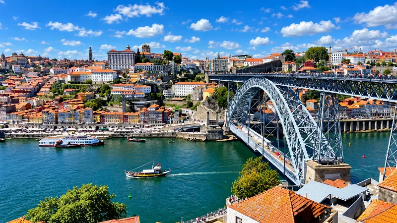
Porto
Porto is a compact northern city of steep streets, granite architecture, riverfront views, historic districts and strong local character.
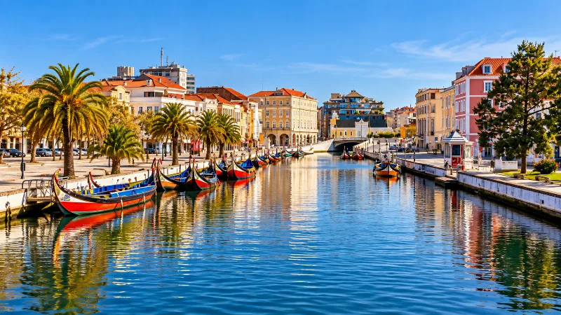
Aveiro
Aveiro is a small coastal-region city with canals, Art Nouveau details, colourful boats and easy access to lagoons and Atlantic landscapes.
Things to Do in Vila Nova de Gaia
Explore things to do in vila nova de gaia with a practical guide to notable places, regional landscapes, local heritage and travel planning in Portugal.
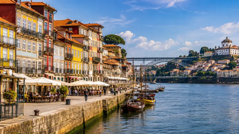
Discovering Porto Through the Ribeira District
Explore Porto's historic Ribeira district, where colourful waterfront buildings, traditional streets, the Douro River and the Dom Luís I Bridge reveal the character of northern Portugal.
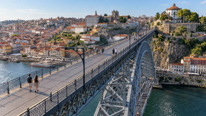
Walk Across Porto’s Dom Luís I Bridge
Cross the Douro between Porto and Vila Nova de Gaia, combining the bridge’s upper deck, Jardim do Morro and the riverside streets.