
Ponta de São Lourenço – Madeira’s Dramatic Eastern Peninsula
Ponta de São Lourenço reveals a drier, wind-exposed side of Madeira through cliffs, Atlantic views and marked trails.
Ponta de São Lourenço reveals a drier, wind-exposed side of Madeira through cliffs, Atlantic views and marked trails. This guide focuses on the landscape, practical access considerations and ways to appreciate the natural setting responsibly.
Landscape and setting
the eastern end of Madeira is recognised for a narrow peninsula of volcanic cliffs and largely open low vegetation. Rather than a constructed attraction, its principal interest lies in the natural relationship between land, water, climate and geology. Visitors can understand much of the setting simply by examining the shapes of the ground and the way the coastline or mountains frame the view. The character of the area is not static: weather, sun angle and seasonal vegetation can alter the experience substantially.
What makes the scenery distinctive
The defining visual detail is layered reddish and dark volcanic rocks above the Atlantic on both sides. This characteristic helps distinguish the place from other Portuguese destinations that may appear similar on a regional map. Look at the scene from more than one safe position where access is permitted; a wider perspective often reveals how the terrain is connected. Photographs may emphasize a single colour or formation, but the full landscape is broader than one familiar image.
Exploring the area
The usual visitor experience involves recognised walking paths across exposed coastal terrain. The area is best appreciated without rushing from one photograph to another. Observe its different textures, the surrounding vegetation and the changing direction of light. A short stop can be satisfying, but allowing extra time helps reveal details that might be overlooked. Always follow the access arrangements in force on the day rather than assuming every path or viewpoint is open.
Natural context
The broader context includes views towards offshore islets at Madeira’s eastern extremity. This connection is useful when planning a nature-focused itinerary: places along the same coast or on the same island can show distinct aspects of geological history, Atlantic weather and local ecology. The purpose of visiting need not be an intensive activity. Quiet observation from an approved location can often be the most appropriate way to experience sensitive or exposed environments.
Conditions and responsible visiting
One important practical consideration is that strong winds, direct sun and limited shelter are common considerations. Visitor safety and environmental protection take priority over reaching a particular viewpoint. Stay on established routes, observe warning signs and carry away any waste. Coastal areas can be affected by tides, swell and unstable cliffs; inland mountain areas can be affected by poor visibility and changing trail conditions. Check the relevant current official notices when applicable.
Planning a visit
Choose an appropriate marked route and check current access notices. Take drinking water and protection from sun and wind. Keep clear of cliff edges even when the scenery makes a short detour tempting. A flexible plan is preferable to relying on a precise photograph or a fixed expectation of colour and weather. The natural landscape itself is the main attraction, and no particular commercial service is required to appreciate its essential features. Visitors who prepare for the terrain and respect restrictions can enjoy the setting while helping preserve it for future trips.
Related content
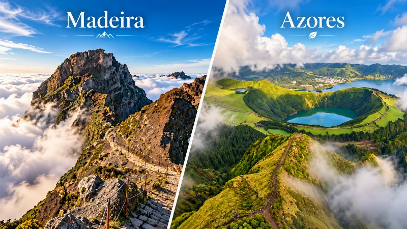
Madeira or Azores: Which Islands Should You Choose?
Madeira and the Azores offer very different Atlantic island experiences, from hiking and volcanic scenery to weather, transport, towns and travel style.
The Crater Lakes of Sete Cidades on São Miguel
Sete Cidades, at the western tip of São Miguel in the Azores, holds a wide volcanic caldera with the famous Blue and Green lakes, quieter craters and high viewpoints across a green, mist-wrapped landscape.
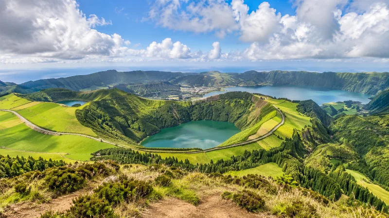
Azores
Discover the Azores through volcanic islands, crater lakes, green landscapes, Atlantic coastlines, hiking, wildlife and distinctive island communities.
Things to Do in Ponta Delgada
Explore things to do in ponta delgada with a practical guide to notable places, regional landscapes, local heritage and travel planning in Portugal.
Ria Formosa Lagoon and Barrier Islands in the Eastern Algarve
The Ria Formosa is a tidal lagoon stretching along the eastern Algarve coast, sheltered by a chain of low sandbar islands and fringed with salt marshes that draw wading birds and shellfish gatherers alike.
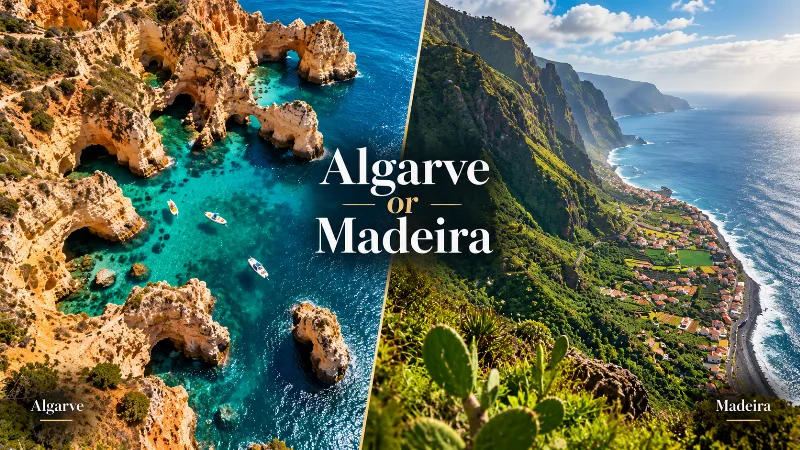
Algarve or Madeira: Which Is Better for Your Trip?
The Algarve and Madeira both offer warm-weather escapes, but they differ greatly in beaches, scenery, hiking, driving, towns and overall travel style.