
Câmara de Lobos
A fishing town on Madeira's south coast, built around a sheltered cove where painted wooden boats are still hauled up onto the shingle. Its harbour, chapels and steep whitewashed lanes sit beneath terraced slopes and high cliffs.
Câmara de Lobos is a working fishing town on the south coast of Madeira, arranged around a small cove where brightly painted wooden boats are pulled up onto the shingle. Fishing still sets the rhythm of the place, but the town also has a compact historic core, two notable churches, a busy little fish market and steep residential lanes that climb the surrounding slopes. Within easy reach of Funchal, it remains a settlement with its own identity rather than a suburb of the capital.
Location and general character
The town lies roughly nine kilometres west of Funchal, on the island's warmer, sunnier southern shore. The built-up area runs almost continuously into the western parishes of the capital, yet the bay itself still reads as a distinct place: a curve of dark pebbles and concrete quays enclosed by headlands, with the open Atlantic beyond. Behind the waterfront, houses rise in tight terraces up the hillside, and the streets narrow quickly once you leave the seafront.
Câmara de Lobos is also a municipality, and a large one in island terms, covering about fifty square kilometres and containing five parishes: the town itself, Estreito de Câmara de Lobos, Quinta Grande, Jardim da Serra and Curral das Freiras. The census of 2011 recorded around 35,600 residents across the municipality. While the coastal strip is densely built and commercial, the inland parishes are rural and mountainous, so the municipality runs from sea level to ground well over a thousand metres.
History
The name is usually explained as a reference to the monk seals, or lobos-marinhos (sea wolves), that the navigators João Gonçalves Zarco and Tristão Vaz Teixeira found resting in the cove when they explored Madeira's coast around 1419 and 1420. The animals were hunted intensively during the island's settlement and had disappeared from Madeiran waters long before the modern era. During the colonisation of the island from the 1420s, the bay briefly served as an administrative centre for the western half of Madeira before that role was transferred to the better-protected harbour at Funchal.
For centuries the local economy rested on fishing, boatbuilding and agriculture, with bananas and vines grown on terraces above the shore. From the seventeenth century onwards the vineyards of Estreito became an important source of grapes for Madeira wine, and the trade shaped the fortunes of the parish. In January 1950, Winston Churchill, then out of office and on a winter holiday, spent part of a day painting the bay from a viewpoint above the eastern side of the harbour; a plaque now marks the spot, and the visit is the event most often cited in accounts of the town.
Architecture and the historic core
The oldest streets sit directly behind the quays, where low houses with whitewashed walls, small windows and terracotta roofs are packed tightly together. Largo do Poço and Rua São João form the heart of a rehabilitation scheme in which walls and doorways have been decorated with murals and objects made from recycled cans, plastic and scrap, giving an otherwise plain quarter a distinctive visual character. In places the lanes are too narrow for pavements, and the transition from harbour to hillside housing is abrupt.
The parish church of São Sebastião, set slightly back from the water, has sixteenth-century origins and was substantially rebuilt and redecorated in later periods. Inside, panels of blue and white azulejo tiles line the walls, a gilded carved altarpiece stands behind the main altar, and the ceiling is painted with clouds. Close to the harbour stands the Capela de Nossa Senhora da Conceição, founded in the fifteenth century and rebuilt in 1723; its interior includes paintings of fishing work and of Saint Nicholas, the patron of those at sea. Further out, the Convento de São Bernardino reflects building phases spanning the fifteenth to the nineteenth centuries.
Natural surroundings
The town occupies a break in an otherwise steep and cliff-bound coast. Immediately to the west, within the same municipality, the land rises to Cabo Girão, a near-vertical wall of rock about 580 metres high, whose summit carries a viewing platform with a glass floor. Beneath the cliffs, small terraced fields known as fajãs have been cultivated on land created by old rockfalls, and a cable car now reaches the largest of them at Fajã dos Padres. Eastwards, the shoreline softens into the long pebble beach at Praia Formosa and the edge of Funchal.
Inland, the terrain becomes dramatically vertical. The valley of Ribeira dos Socorridos drains the uplands, the slopes above Estreito are quilted with narrow terraces supported by stone walls, and higher ground gives way to stands of laurisilva, the island's native laurel forest. The parish of Curral das Freiras occupies a deep, crater-like basin among the mountains, reached by road from the coast, while the plateau around Jardim da Serra and the pass at Boca da Encumeada open up views across the island's interior.
Local culture and everyday life
Fishing remains the defining activity. The port is the island's main landing point for black scabbardfish, known locally as espada, a long, dark, deep-water species caught on lines and sold through the fish market beside the harbour. The boats, called xavelhas, are shallow, sturdy and hand-painted, and a mechanical winch is used to drag them up the slipway because the cove has no deep berths for the whole fleet.
The town is also closely associated with poncha, the drink made from sugarcane spirit, honey and lemon, worked together with a grooved wooden stick called a mexelote. Fishermen are traditionally credited with its invention here, and the small bars behind the seafront still prepare it by hand. A sweeter local alternative is the Nikita, a blend of beer, ice cream and pineapple. Religious life centres on the harbour chapels and the parish church, and processions and parish festivities continue to mark the calendar, while bananas, vines and smallholdings above the town keep a farming element in local employment.
Notable places
- The bay and harbour - the focal point of the town, with the fishing fleet, the slipway and a small pebble beach beside the quays.
- Miradouro Winston Churchill - the viewpoint on the eastern side of the cove where Churchill set up his easel, marked by a plaque and, near the waterfront, a bronze figure of him at work.
- Miradouro do Espírito Santo and Pico da Torre - elevated points above the town offering the classic view down onto the boats and the curve of the bay.
- Igreja de São Sebastião - the parish church, notable for its tiles, gilded woodwork and painted ceiling.
- Capela de Nossa Senhora da Conceição - the small fishermen's chapel by the harbour, with its maritime paintings.
- The fish market - where the night's catch is landed, weighed and sold, best seen in the morning.
Nearby destinations
Funchal is a short drive or bus ride east, and its western beach at Praia Formosa can be reached on foot along the coastal promenade. West of the town, Cabo Girão and the Fajã dos Padres cable car are the most obvious extensions of a visit, while continuing along the south coast brings you to Ribeira Brava, with its church and seafront, and then Ponta do Sol, whose sheltered waterfront marks the transition to the island's sunnier west.
Inland routes are equally rewarding. The road up through Estreito leads to the vineyards and viewpoints of the upper parish, and a little further on, the Eira do Serrado belvedere looks down into the bowl containing Curral das Freiras, another parish of Câmara de Lobos, whose convent once gave refuge to nuns from Funchal during the sixteenth-century pirate raids. Madeira's airport lies about thirty kilometres to the east, and the mountain pass at Boca da Encumeada connects the southern coast with the north.
Related content
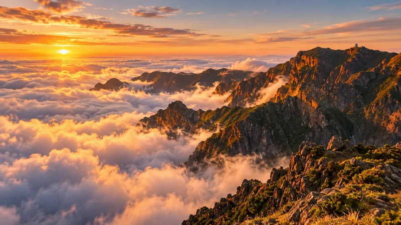
Madeira
Explore Madeira through Funchal, dramatic mountains, levada walks, subtropical gardens, volcanic coastlines and distinctive Atlantic island landscapes.
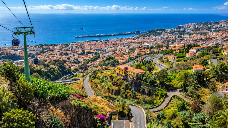
Funchal
Funchal is Madeira’s capital, combining a historic Atlantic port, steep green hillsides, gardens, markets and easy access to island landscapes.
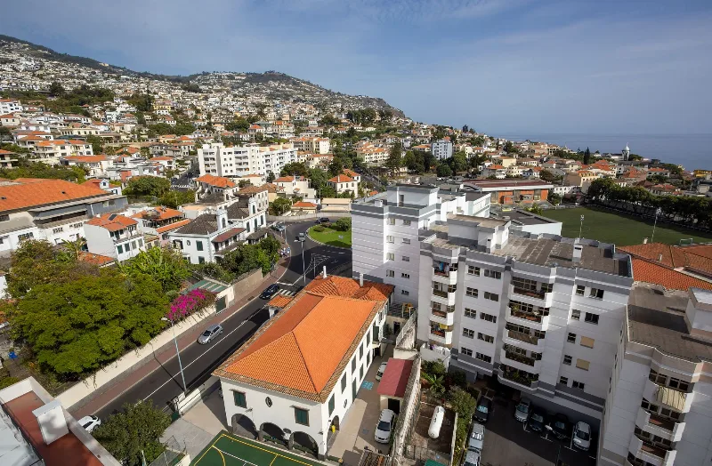
Funchal
Funchal, Madeira's capital, spreads from its Atlantic harbour up the slopes of a volcanic amphitheatre, combining a working port and historic quarters with gardens, wine lodges and access to the island's levada walks.
Ribeira Brava
Ribeira Brava is a small town on Madeira's southern coast, built where a deep river valley opens onto the Atlantic. Its parish church, coastal fort and terraced banana slopes give it a character distinct from the busier resorts further east.
Madeira Bolo do Caco and Espetada Traditions
Bolo do caco and espetada sit at the heart of Madeira's festive table: a soft sweet-potato flatbread baked on hot stone and beef grilled on a laurel skewer.