
Ribeira Brava
Ribeira Brava is a small town on Madeira's southern coast, built where a deep river valley opens onto the Atlantic. Its parish church, coastal fort and terraced banana slopes give it a character distinct from the busier resorts further east.
Ribeira Brava sits on the southern coast of Madeira, about twenty kilometres west of Funchal, where a steep river valley meets the Atlantic. The town gives its name to the wider municipality of the same name, which also includes the parishes of Campanário, Tabua and Serra de Água and covers roughly sixty-five square kilometres of coast, terraced hillside and high mountain. It is a working Madeiran town rather than a resort, with a compact centre, a small shingle beach and a road network that makes it a natural stopping point between the island's south and north coasts.
Location and general character
The municipality is bounded by Câmara de Lobos to the east, Ponta do Sol to the west, São Vicente to the north and the ocean to the south. The town centre clusters around the mouth of the ribeira, a watercourse about eight kilometres long that runs north to south out of the central massif and gives the place its name, usually translated as “wild river”. Housing and smallholdings spread up the lower slopes on both banks, while the inland parish of Serra de Água lies at around 640 metres in a mountain basin. The climate is mild and temperate, with warm summers and cool but rarely harsh winters; the south-facing aspect brings noticeably more sunshine than the north of the island. The coastal expressway and two connecting roads, one towards Ponta do Sol and one through the Encumeada tunnel to São Vicente, meet here, which explains much of the town's everyday traffic.
History
Ribeira Brava is one of the oldest settlements on Madeira. It was already recorded as a parish around 1440, in the generation following the death of Henry the Navigator, and its small anchorage became important because overland travel on the island was slow and difficult. Produce from the interior was loaded here for Funchal, and travellers crossing between the south and north coasts passed through the valley. The exposed position brought danger as well as trade: coastal defences were built against privateers, and the flood of 1803 destroyed two small forts at the river mouth. The modern municipality was created only in 1914, when territory was detached from Ponta do Sol and Câmara de Lobos, and the town was formally elevated to town status in 1928.
Architecture and the old town
The parish church of São Bento is the most significant building in the centre. Its fabric dates from the sixteenth century, though successive campaigns, particularly in the Baroque period, altered the exterior and interior. The main portal, with three Gothic archivolts and carved capitals, has few parallels on the island. Inside are a gilded and painted altarpiece of the late seventeenth century attributed to the workshop of Manuel Pereira de Almeida, a Manueline pulpit and font associated with King Manuel I, a Flemish image of Our Lady of the Rosary from around 1520 and a panel attributed to the painter Francisco Henriques.
Close by stands the Forte de São Bento, ordered in 1708 by the governor Duarte Sodré Pereira to protect the anchorage. It is a small circular tower with a battlemented terrace and sentry box, a round-arched north door bearing inscriptions and the national arms, and a niche containing an image of the patron saint on the seaward side. It was leased as a prison from 1920 and now serves as an information point. The town hall occupies the Solar dos Herédias, a late eighteenth- and early nineteenth-century house associated with Francisco Correia Herédia, founder of the municipality, set in a garden with traditional pebble paving. The Madeira Ethnographic Museum is housed in a seventeenth-century house built for Captain Luís Gonçalves da Silva, later converted into a sugar-cane mill with an animal-driven press and a distillery, and used as a museum since 1983. The old core around Rua do Visconde retains narrow streets, and a spiral staircase by the harbour tunnel leads up to the small lighthouse.
Natural surroundings
The valley is the defining feature of the landscape: a funnel-shaped catchment inland narrows into a gorge that in places cuts more than five hundred metres deep, and the river deposits boulders along its final stretch. Above the town the municipal uplands rise to Pico Grande at 1,675 metres and Pico do Cerco at 1,586 metres. The south-facing slopes are heavily terraced, with bananas the most visible crop, alongside vines, sugar cane, sweet potatoes, vegetables and subtropical fruit. Higher up, patches of laurel forest survive, and the levadas that carry water from the wetter north cross the hillside; their maintenance paths, including stretches of the Levada do Norte and the Levada Nova, are now walked as linear trails. At the coast there is a small pebble beach and a promenade facing open water.
Local culture and everyday life
Farming remains part of daily life, though most households combine it with work in shops, services, building and tourism. São Bento is the patron saint and his feast is kept on 21 March, while the celebrations of São Pedro at the end of June draw visitors from across the island; the Festa do Senhor includes flower carpets laid in the streets. Parish life, the small market and the seafront cafés set the rhythm of the town, and the museum collections document rural crafts, tools and food production from across the archipelago.
Notable places
Within the town, the church, fort, town hall, ethnographic museum and lighthouse form a compact circuit that can be covered on foot. Inland, the Serra de Água basin and the Encumeada pass, with viewpoints on both sides of the ridge, are the main objectives for walkers. Down the coast, Campanário has its own parish church of São Brás and a colourful older quarter, while the Tabua valley, west of the town, is known for its terraces of bananas, mangoes and vines.
Nearby destinations
Ponta do Sol lies a short drive west along the coast, and Câmara de Lobos, with the clifftop viewpoint of Cabo Girão, is a similar distance east. Funchal is within easy reach by expressway. To the north, the road over the Encumeada pass leads to São Vicente and the island's northern coast, while the Paul da Serra plateau opens up routes towards Porto Moniz and the west.
Related content
Madeira
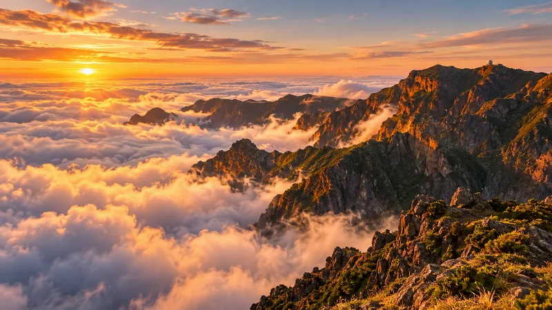
Explore Madeira through Funchal, dramatic mountains, levada walks, subtropical gardens, volcanic coastlines and distinctive Atlantic island landscapes.
Funchal
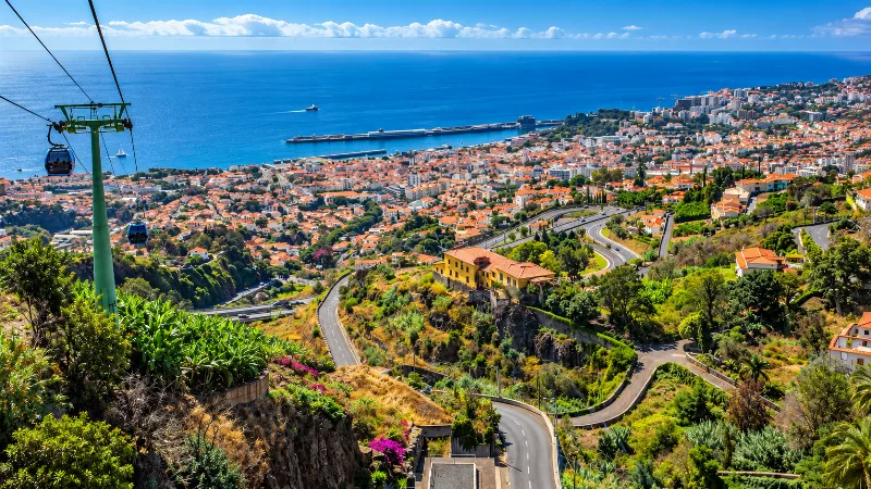
Funchal is Madeira’s capital, combining a historic Atlantic port, steep green hillsides, gardens, markets and easy access to island landscapes.
Funchal
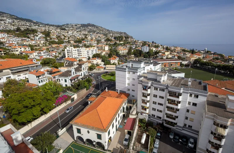
Funchal, Madeira's capital, spreads from its Atlantic harbour up the slopes of a volcanic amphitheatre, combining a working port and historic quarters with gardens, wine lodges and access to the island's levada walks.
Ponta do Sol
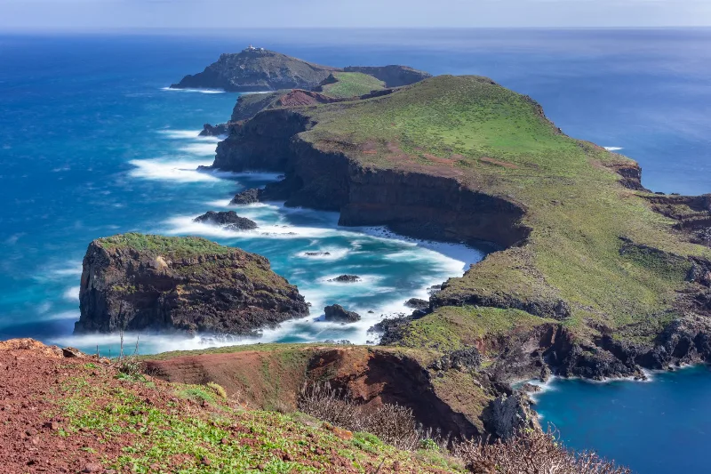
A quiet parish on Madeira's south coast, where a church tower, cobbled lanes and terraced banana plots sit squeezed between a steep escarpment and the Atlantic. Its streets and farmland show how settlement on the island has been shaped by very limited flat ground.
Câmara de Lobos
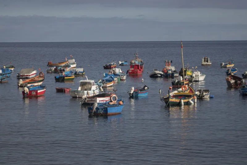
A fishing town on Madeira's south coast, built around a sheltered cove where painted wooden boats are still hauled up onto the shingle. Its harbour, chapels and steep whitewashed lanes sit beneath terraced slopes and high cliffs.
São Vicente
São Vicente is a small municipality on Madeira's north coast, set in a deep valley beneath steep mountain slopes and known for its lava-tube caves, its basalt parish church and the laurel forest that closes in around the village.