
Ponta do Sol
A quiet parish on Madeira's south coast, where a church tower, cobbled lanes and terraced banana plots sit squeezed between a steep escarpment and the Atlantic. Its streets and farmland show how settlement on the island has been shaped by very limited flat ground.
Ponta do Sol is a small parish and municipal seat on the south coast of Madeira, the Portuguese island in the Atlantic. It stands on a narrow shelf of land between a steep escarpment and the sea, roughly 25 kilometres west of Funchal along the coastal road. Whitewashed houses, a church tower and terraced plots of banana plants mark a settlement that has grown up on the modest amount of level ground available between cliff and shore.
A south-coast parish between cliff and sea
The parish gives its name to the wider municipality, which also includes Canhas and Madalena do Mar. The built-up area gathers around the mouth of the Ribeira da Ponta do Sol, a short watercourse that carries rain from the high ground down to the bay. Because the coast here faces almost due south, the parish catches sun for most of the day, and it is often described as one of the warmest and driest corners of Madeira. The name itself, usually translated as "Point of the Sun", is traditionally connected with the headland where the setting sun meets the water.
The village is compact rather than sprawling. A single main street follows the valley, with narrower lanes climbing away from it, and the older quarter keeps a dense, village-like scale of two-storey houses, small shops and shaded corners. The south-coast road passes through the parish, so Ponta do Sol is easily reached from either direction, yet it has kept the pace of a place where agriculture and fishing still shape the working day.
History of settlement
Ponta do Sol is among the earliest places on Madeira to be settled after the island's colonisation began in the 1420s. Its sheltered bay and reliable water supply made it attractive to the first settlers, and land was divided into plots granted to colonists who were expected to bring it under cultivation. The parish church was founded in the fifteenth century, and the settlement received municipal status in the early sixteenth century, during the reign of Manuel I.
Sugar cane dominated the early economy, as it did across much of southern Madeira, and the water rights needed to irrigate it were carefully regulated. When the Atlantic sugar trade declined, vineyards and later bananas took over the lower slopes. The parish also lost many of its people to emigration over the nineteenth and twentieth centuries, a pattern repeated throughout the archipelago. Road tunnels and improvements along the south coast in recent decades have shortened journeys to Funchal and made the parish less isolated than it once was.
Architecture and the parish church
The church of Nossa Senhora da Luz is the focal point of the old centre, standing on slightly raised ground near the valley mouth. Its origins are fifteenth-century, though the building was altered and enlarged in later periods and repaired after earthquakes that damaged churches across the island. Elements of Gothic and Manueline stonework survive alongside later additions, and the interior holds carved altarpieces and tiled panels typical of Madeiran churches.
Around it, the streets are paved with small cobbles and lined with houses built from local stone, many of them whitewashed and finished with wooden shutters, wrought-iron balconies and roofs of curved clay tiles. Small chapels, old water tanks and stone stairways are worked into the fabric of the lanes. At the water's edge, a modest pier and sea wall recall the days when boats were the main link with the rest of the island.
Natural surroundings and farming
The land rises sharply behind the village in a series of terraces held by dry-stone walls, known locally as poios. These narrow strips are the basis of the parish's most distinctive landscape: banana plants grown on smallholdings, their broad leaves catching the light on slopes too steep for machinery. Water is carried to them through levadas, the irrigation channels cut into the hillside to bring supplies from the wetter interior.
Above the terraces, the ground climbs towards the high plateau of Paúl da Serra, where cloud and rainfall are far more frequent than on the coast. That contrast explains the parish's microclimate and the abundance of water running through it. Patches of laurel forest, tree heather and pine survive on the upper slopes, while the cliffs below the village drop steeply to dark volcanic rock and a sea that is often calm in summer and heavy in winter.
Local culture and everyday life
Fishing boats still work out of the bay, and family smallholdings continue to supply bananas, along with passion fruit, custard apples and vegetables for local markets. Village life centres on the church square, the cafés and the small shops, where conversations tend to be long. Religious festivals, processions and summer fairs bring music, food stalls and folk dancing to the streets, and poncha, the cane-sugar and aguardente drink associated with Madeira, is served in the bars near the seafront.
In 2021 the parish became the base for a digital nomad village project organised with the regional authorities, which brought remote workers into the old centre for extended stays. The scheme sits alongside, rather than in place of, the farming and fishing that have long sustained the community.
Notable places within the parish
Praia da Ponta do Sol is a pebble beach close to the centre, equipped with a small pier, a sea wall and natural rock pools that fill at low tide; it is used mainly by residents and visitors staying locally. Above the bay, a roadside viewpoint gives a clear view of the village, the terraces and the line of the coast. Several marked levada walks begin in or near the parish, passing through cultivated plots and laurel forest, including routes following the Levada Nova and the Levada do Moinho. The old centre, with the church, the narrow lanes and the harbour front, forms a compact area that can be explored on foot in an hour or two.
Nearby destinations
To the east, Ribeira Brava is a larger town at the mouth of a broad valley, with its own church and a seafront promenade. Westwards, Madalena do Mar is a slender coastal parish of banana fields and a narrow beach, while Calheta further along the coast has a marina and a working sugar-cane mill that now functions as a museum. Inland, the Paúl da Serra plateau offers open moorland and viewpoints over both sides of the island, and Funchal, with its cathedral, markets and gardens, is a straightforward drive east along the coastal road. The cliff viewpoint of Cabo Girão lies beyond Ribeira Brava and can be combined with a journey to or from the capital.
Related content
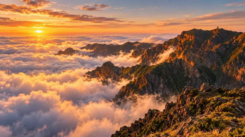
Madeira
Explore Madeira through Funchal, dramatic mountains, levada walks, subtropical gardens, volcanic coastlines and distinctive Atlantic island landscapes.
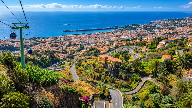
Funchal
Funchal is Madeira’s capital, combining a historic Atlantic port, steep green hillsides, gardens, markets and easy access to island landscapes.
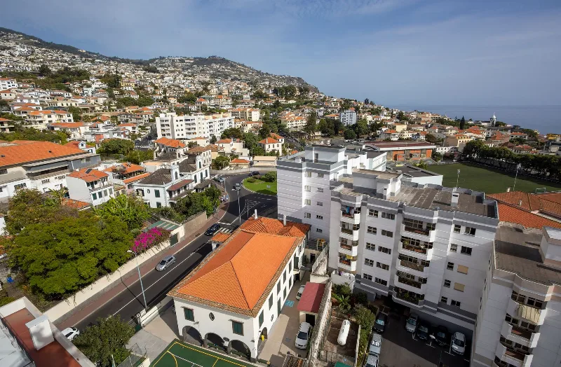
Funchal
Funchal, Madeira's capital, spreads from its Atlantic harbour up the slopes of a volcanic amphitheatre, combining a working port and historic quarters with gardens, wine lodges and access to the island's levada walks.
Ribeira Brava
Ribeira Brava is a small town on Madeira's southern coast, built where a deep river valley opens onto the Atlantic. Its parish church, coastal fort and terraced banana slopes give it a character distinct from the busier resorts further east.
Machico
Machico is one of Madeira's earliest settlement sites, a bay-side town on the island's drier eastern coast with a fishing harbour, a sandy beach and a compact historic centre.
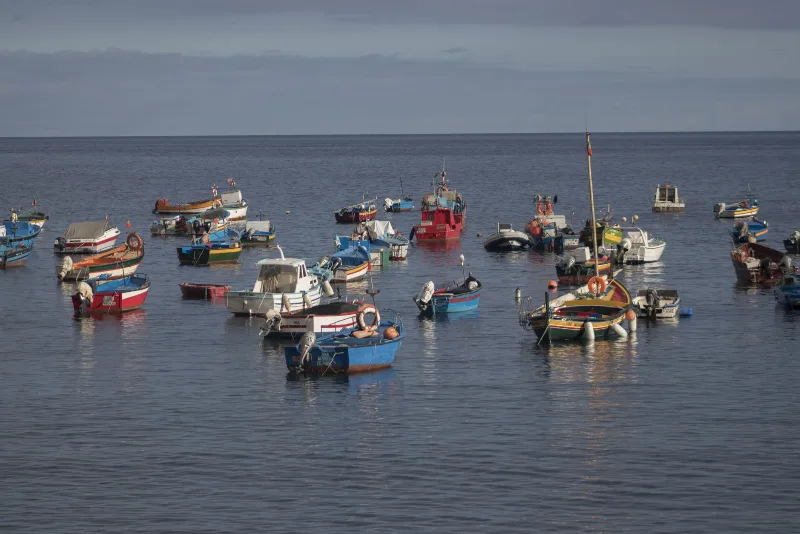
Câmara de Lobos
A fishing town on Madeira's south coast, built around a sheltered cove where painted wooden boats are still hauled up onto the shingle. Its harbour, chapels and steep whitewashed lanes sit beneath terraced slopes and high cliffs.