
São Vicente
São Vicente is a small municipality on Madeira's north coast, set in a deep valley beneath steep mountain slopes and known for its lava-tube caves, its basalt parish church and the laurel forest that closes in around the village.
São Vicente sits on the northern side of Madeira, where a short river cuts down through basalt and reaches the Atlantic at the head of a pebbly bay. The village occupies the floor of a steep-sided valley, with houses, church towers and terraced plots stacked between cliffs that rise on three sides. It is a working place rather than a resort, and its layout shows clearly how settlement on this island has always been squeezed between the sea and the mountains.
Location and general character
The municipality of São Vicente covers about 78 square kilometres and is divided into three parishes: São Vicente itself, Ponta Delgada to the west and Boaventura to the east. The whole municipality has fewer than six thousand inhabitants, of whom roughly half live in the parish of São Vicente. The village centre stands around 270 metres above sea level, a short distance inland from the coast, and the built-up area extends along the ribeira and up the lower slopes in a series of small, separate hamlets.
This is the wetter, windier face of Madeira. Cloud gathers on the ridges above the village even when the south of the island is clear, and the vegetation is correspondingly lush. The main coastal road, the ER101, links São Vicente with its neighbours along the north shore, while a road tunnel and the older, winding route over the Boca da Encumeada pass provide the quickest connections with Funchal and the south coast.
History
The north coast was settled later than the sheltered south, because the ravines and dense woodland made access difficult. Water and fertile alluvial soil nevertheless drew farmers into the São Vicente valley, where sugar cane and vines were planted in the early centuries of colonisation. In the nineteenth century the local economy rested on small-scale agriculture, and wine stored in sheds near the shore was carried out by boat to Funchal.
Local tradition explains the name of the place with a story about crows circling above the valley when the first settlers arrived, recalling the martyr Saint Vincent, whose body was said to be guarded by the birds. The settlement was raised to the status of a vila in the second half of the eighteenth century and became the administrative seat of a municipality that at first stretched along much of the north coast, from Porto Moniz to Arco de São Jorge. That territory was progressively divided as neighbouring parishes gained their own councils, leaving the three parishes that make up the municipality today.
Architecture
Building here is dominated by dark volcanic stone. Houses are generally whitewashed, with door and window surrounds, corner quoins and low garden walls picked out in black basalt, and roofs pitched steeply to shed heavy rain. The parish church of São Vicente, dedicated to the saint, grew out of a small chapel recorded at the end of the seventeenth century; it was altered repeatedly and took its present form largely in the twentieth century. Its exterior is sober, but the interior is richly decorated, with gilded carving, painted ceilings and tiled walls, and the tower carries a distinctive chequered spire visible from across the valley.
Near the river mouth stands a much smaller chapel, built against a basalt outcrop close to the water, which has long been a landmark for people arriving from the sea. Above the village, the Capela de Nossa Senhora de Fátima, dating from the 1950s, occupies a hillside terrace and is reached on foot. A disused lime kiln, the Forno da Cal, survives on the edge of the parish and is explained at a small museological centre devoted to the lime-burning trade that once supplied mortar for island construction.
Natural surroundings
The upper slopes of the municipality lie within the Laurissilva, the native laurel forest that was inscribed as a UNESCO World Heritage Site in 1999. Characteristic trees such as til, laurel and mahogany-like species clothe the ravines, along with ferns, mosses and epiphytes that thrive in constant humidity. Walking routes follow old levadas and footpaths into the forest, including trails that climb from the valley towards the plateau of Paul da Serra and paths that descend to waterfalls issuing directly from the rock.
The coastline is abrupt: cliffs alternate with the mouths of ravines, and the beach at São Vicente is made of dark pebbles rather than sand. Atlantic swell arrives with some force, which makes the bay popular with surfers and bodyboarders while leaving it less suited to swimming. The valley itself is a textbook of volcanic geology, with dykes and old lava flows visible in the cut faces beside the roads.
Local culture and everyday life
Daily life is shaped by agriculture and by the small service economy of a rural municipality. Terraced plots on the valley sides grow vegetables, potatoes, vines and custard apples, the last of which carries a protected designation for Madeira. Traditional cooking in the area relies on simple staples: garlic-rubbed bolo do caco, grilled fish, caldeirada stews and black scabbard fish, often served with local wine or poncha. Religious observance remains visible, with the feast of São Vicente in January and other parish festas marked by processions, music and the decoration of streets and chapels. Outward migration has long been part of life here, and many families maintain links with relatives abroad.
Notable places
The volcanic caves, or Grutas de São Vicente, are the best-known feature of the parish. They are lava tubes formed by an eruption on the Paul da Serra plateau around 890,000 years ago, when the surface of a flow cooled and solidified while molten rock continued to drain beneath it. Local people knew of them from the 1880s, but the caves were opened to visitors only in 1996, making them among the first volcanic caves in Portugal to be made accessible. The guided route runs for roughly 700 metres through tunnels five to six metres high, past lava stalactites and small underground pools, at a constant temperature in the mid-teens. An adjoining Volcanism Centre explains the geology of the archipelago. Both the caves and the centre have been closed for extended maintenance periods in recent years, so opening times should be checked before travelling.
A second, quieter attraction is the Jardim Indígena beside the caves, a garden of more than 2,000 square metres planted with Madeiran species, including laurels and plants normally found on cliffs. The village centre, with its church, small squares and waterfront, rewards a slow walk.
Nearby destinations
To the west, the parish of Ponta Delgada clings to terraced slopes above the sea, while Seixal, just beyond, has a black volcanic beach and a bathing area at the mouth of its river, backed by the wooded hamlet of Chão da Ribeira. Further west again are the natural rock pools of Porto Moniz, cut into lava platforms and refilled by the tide. To the east, Boaventura offers a hillside church and views back along the coast, and the road continues towards Santana with its thatched houses and the laurel and cedar forest of Fanal. Inland, the pass at Boca da Encumeada crosses the island's central ridge and drops to Ribeira Brava, giving a direct route between the north coast and the warmer south.
Related content
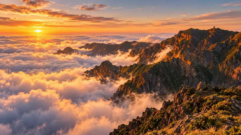
Madeira
Explore Madeira through Funchal, dramatic mountains, levada walks, subtropical gardens, volcanic coastlines and distinctive Atlantic island landscapes.
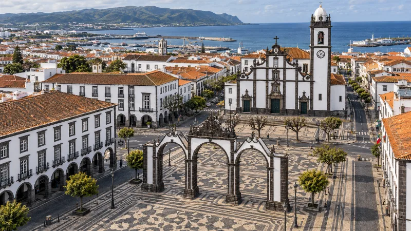
Ponta Delgada
Ponta Delgada is São Miguel’s main city, combining an Atlantic waterfront, volcanic-stone architecture, historic churches and access to the island’s lakes and geothermal landscapes.
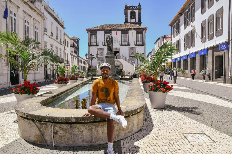
Ponta Delgada
The Azores' largest city spreads across a basalt terrace above a south-facing bay on São Miguel. This guide covers its harbour history, religious architecture, festivals and the volcanic hills that surround it.
Things to Do in Ponta Delgada
Explore things to do in ponta delgada with a practical guide to notable places, regional landscapes, local heritage and travel planning in Portugal.
Ribeira Brava
Ribeira Brava is a small town on Madeira's southern coast, built where a deep river valley opens onto the Atlantic. Its parish church, coastal fort and terraced banana slopes give it a character distinct from the busier resorts further east.
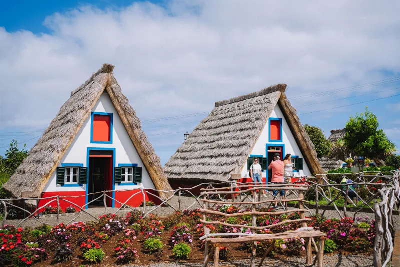
Santana
Santana is a town on Madeira's north coast, known for its steep-roofed thatched houses and for the mountains that rise directly behind it. It is a working Portuguese town rather than a resort, surrounded by terraced fields and laurel forest.