
The Rice Fields and Marshlands of the Sado Estuary
A concise introduction to the rice-growing plains and wetland habitats of the Sado Estuary around Comporta, and to the seasonal patterns that shape this Atlantic landscape.
The Sado Estuary opens onto the Atlantic near Setúbal, south of Lisbon, where the river broadens into a shallow basin of mudflats, channels and low-lying farmland. Around Comporta and Alcácer do Sal, the rice fields and marshlands of the Sado Estuary form a distinctive landscape in which fresh water, tidal water and human cultivation meet. It is a place of open horizons, reflective paddies and reed-fringed creeks, best understood through the slow rhythms of seasons and tides rather than as a single scenic stop.
A Landscape Shaped by River and Tide
The Sado rises inland and travels through the Alentejo before reaching the coast. Near its mouth, the river loses speed and spreads across flat alluvial ground. Tides push salt water into the estuary, while drainage channels and small waterways carry fresh water across the plains. This balance creates a mosaic of habitats: open water, muddy margins, salt marsh, wet pasture and cultivated fields. The result is neither purely natural nor wholly artificial, but a working landscape in which people have long adapted to the presence of water.
Comporta lies on the coastal side of this system, between the estuary and Atlantic dunes. The parish includes scattered hamlets, pine woods and broad agricultural plains. Its name is often associated with the surrounding rice fields and beaches, yet the wider Sado Estuary gives the area its character. Water is never far away, whether in irrigation channels, tidal creeks or the shallow lagoons that collect behind sand dunes.
Rice Fields of the Sado Estuary
Rice has been grown on the low plains around the estuary for generations, and the crop remains one of the region’s most recognisable agricultural features. The fields are laid out on flat ground with low banks and channels that allow water to be managed carefully. In spring, the paddies may be flooded, creating sheets of water that mirror the sky. As the rice grows, the fields turn green; later in the season, they ripen to pale gold before harvest.
The cultivation of rice depends on a delicate arrangement of fresh water, soil and drainage. The heavier soils of the estuary hold water well, while the nearby river and channels provide the supply needed during the growing season. The fields are not simply a monoculture: their margins, banks and wet corners can support insects, amphibians and birds. For travellers, the rice fields are best appreciated from quiet roads and tracks, where the scale of the plains and the changing colours of the crop become apparent.
Marshlands and Wetland Habitats
The marshlands are among the most important natural features of the Sado Estuary. Salt marsh vegetation covers parts of the intertidal zone, with low plants adapted to brackish water and periodic flooding. Mudflats exposed at low tide provide feeding grounds for waders and other waterbirds. Reeds and rushes line many creeks, offering cover for small birds and amphibians, while open water attracts ducks, herons and egrets.
The estuary’s position on the Atlantic coast makes it significant for migratory birds. Some species pass through during migration, while others remain through winter or breed in the surrounding wetlands. The rice fields add another layer to this habitat mosaic, especially when they are flooded or recently harvested. Birdwatching here is less about a single reserve and more about observing the wider landscape: the edge of a channel, the far side of a paddy or the muddy bank of a tidal creek.
Comporta and the Human Rhythms of the Estuary
Comporta’s traditional architecture is modest and well suited to the climate. Whitewashed houses with simple lines and coloured trim are common in the older settlements, where streets remain small and shaded. The surrounding landscape is agricultural rather than urban, with rice growing, grazing and small-scale farming forming part of the local economy. The area’s character comes from this combination of village life, open fields and the proximity of both river and sea.
The estuary also reflects a practical relationship with water. Dykes, drainage ditches and tracks divide the fields and make them workable. These features may look ordinary, but they reveal how generations have shaped the land without erasing its wetland nature. In places, the boundary between a rice field and a marsh is deliberately managed; elsewhere, it is softened by reeds and seasonal flooding.
Appreciating the Landscape
The rice fields and marshlands of the Sado Estuary are best explored slowly. Public roads and paths cross parts of the plains, offering views over flooded fields and tidal channels. Early morning and late afternoon often bring softer light and greater bird activity. A pair of binoculars is useful, though the landscape can also be enjoyed simply by watching the changing reflections on the water and the movement of birds across the open sky.
Because this is a working environment, visitors should respect field boundaries, avoid disturbing livestock and keep to accessible routes. The pleasures of the Sado Estuary are quiet ones: the expanse of sky, the scent of brackish water, the flash of a bird over a channel and the seasonal transformation of the rice fields from water to green to gold.
Related content
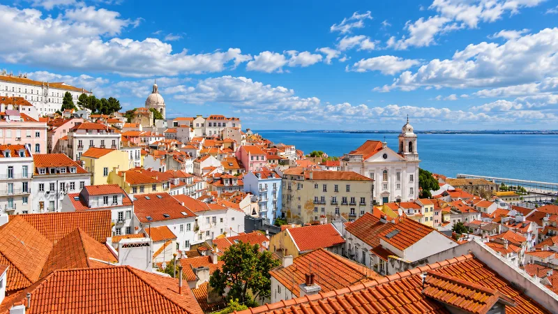
Lisbon
Portugal’s capital combines historic neighbourhoods, river views, tiled façades, viewpoints and an energetic everyday city life.
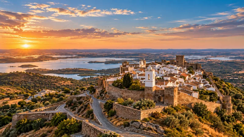
Alentejo
Discover Alentejo through Évora, whitewashed towns, cork-oak landscapes, vineyards, regional food and the broad rural interior of southern Portugal.
Discovering the Coastal Landscapes of Comporta
Explore discovering the coastal landscapes of comporta with a practical guide to notable places, regional landscapes, local heritage and travel planning in
Things to Do in Setúbal
Explore things to do in setúbal with a practical guide to notable places, regional landscapes, local heritage and travel planning in Portugal.
Arrábida Natural Park Limestone Hills and Coves
Arrábida Natural Park stretches along the Setúbal peninsula, where pale limestone hills fall sharply to a coast of sheltered coves and clear water. The park combines Mediterranean vegetation, a protected marine area and long views across the Sado estuary.
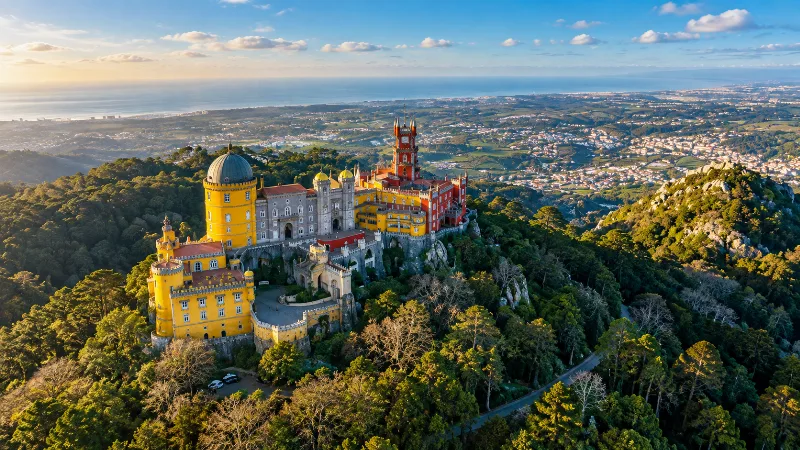
Lisbon Region
Explore Lisbon, Sintra, Cascais and Cabo da Roca through historic neighbourhoods, palaces, Atlantic scenery and easy day trips from the capital.
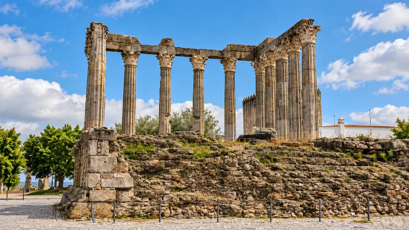
Évora
Évora is a historic Alentejo city of Roman remains, whitewashed streets, medieval walls, churches and a slower inland Portuguese rhythm.
Portugal in 10 Days: How to Organize Your Itinerary
Balance Lisbon, Porto and a third region with manageable transfers over ten days.