
Amarante
Amarante is a granite-built town in northern Portugal where a baroque bridge and a former Dominican convent face each other across the Tâmega. Its compact centre, riverside paths and wooded hinterland make it a natural stopping point between the coast and the interior.
Amarante is a small city in the Tâmega e Sousa sub-region of northern Portugal, within the district of Porto, built where the river Tâmega forces its way between granite hills. Its identity revolves around one crossing point: the bridge and the church of São Gonçalo stand a short walk apart, and nearly every street in the old centre leads back towards them.
Location and general character
The city is the seat of a municipality of roughly 301 square kilometres, divided into 26 parishes. The 2021 census counted about 52,000 inhabitants across the whole municipality, the great majority of them living outside the small urban core in villages and scattered hamlets. Amarante received city status only on 8 July 1985, a date still observed as the municipal holiday, although the settlement itself is many centuries older. The municipality borders Celorico de Basto to the north, Mondim de Basto to the north-east, Vila Real and Santa Marta de Penaguião to the east, Baião, Marco de Canaveses and Penafiel to the south, and Lousada and Felgueiras to the west.
Two features define the town's character: the river and the roads. The Tâmega runs here between high, rocky banks, and the historic centre climbs steeply from the water, its lanes narrow and its buildings mostly of local granite. Because the valley has always channelled traffic between the coast and the interior of Trás-os-Montes, Amarante developed as a market and staging town rather than an industrial one. Its economy today rests on small-scale manufacturing, services and agriculture, with footwear and furniture production in the surrounding parishes sitting alongside farming.
History: a crossing, a saint and a siege
Local tradition credits Gonçalo de Amarante, a thirteenth-century Dominican friar, with building or rebuilding the bridge so that pilgrims could cross the river. The crossing is mentioned in royal inquiries of the 1250s, and the medieval bridge, fortified and crowned by a stone crucifix at its midpoint, survived until 10 February 1763, when an exceptional flood brought it down. The crucifix had been taken off the structure an hour before the collapse and was afterwards set into a window of the convent church, where it is still venerated as the Senhora da Ponte. Work on a replacement began in 1782 to a design by the architect Carlos Amarante, and the new bridge opened to traffic in 1790.
In April 1809 the bridge became a battlefield. During the second French invasion of Portugal, troops under General Silveira held the crossing for fourteen days before being forced to withdraw, blocking the Napoleonic advance towards Trás-os-Montes. A memorial inscription on one of the bridge's stone pyramids records the episode, which brought the town the collar of the Order of the Tower and Sword and gave Silveira the title Count of Amarante.
Architecture of the bridge and the convent
The Ponte de São Gonçalo is a granite structure of three round arches of unequal size, the central one much the tallest, carried on piers reinforced by triangular buttresses upstream and downstream. Its roadway is edged by a parapet resting on a carved cornice, interrupted by four semicircular balconies with stone benches, and each end of the bridge is marked by a pair of faceted baroque pyramids. It is about fifty metres long and, with the church and cloister beside it, has been classified as a national monument since 1910.
The Igreja e Convento de São Gonçalo was founded in 1540 by King João III and Queen Catherine of Austria on the site of a much older hermitage, with the first stone laid in 1543. Building continued until the reign of Philip I and was largely complete before 1600, which explains the mixture of Renaissance, Mannerist and later baroque elements. The Mannerist stamp of the complex is associated with the architect Mateus Lopes, whose principal cloister, built between 1586 and 1606 around a central fountain, remains the calmest space in the building. The lateral façade carries a carved altar-piece portal and, above it, the Varanda dos Reis, added from 1683 under Manuel do Couto, with statues of the four monarchs who sponsored the works. Inside, the gilded pipe organ of 1766 by Francisco António Solha and the tomb of São Gonçalo beside the high altar are the chief features, and it is customary to pull the cord of the saint's belt three times while making three wishes.
After the suppression of the religious orders in 1834 the convent passed into civic use. Part of it now houses the municipal council, and since the 1980s another wing has held the Museu Municipal Amadeo de Souza-Cardoso, adapted by the architect Alcino Soutinho. The museum, founded in 1947, combines an archaeological collection displayed in the cloister with Portuguese modern and contemporary painting, above all works by Amadeo de Souza-Cardoso, who was born at Manhufe nearby in 1887 and died in 1918.
Wooded hills, riverbanks and the greenway
The land around Amarante is a dense patchwork of tiny holdings: maize plots, vegetable gardens, vines trained on granite posts, and woods of pine, oak and eucalyptus climbing the slopes. To the east and south-east the Serra do Marão rises above 1,400 metres and forms the barrier between the coast and the interior, while the Aboboreira plateau to the north-west preserves prehistoric megalithic tombs in open heathland. The wooded hills close to the town are crossed by old paths linking the outlying parishes, and the river remains the dominant presence, with paths on both banks below the bridge and wide views upstream from the balconies.
A converted railway line gives the valley its longest walking and cycling route. The Linha do Tâmega, which once connected Livração on the Douro line with Arco de Baúlhe, closed to traffic in 1990; its trackbed is now the Ecopista do Tâmega, a greenway of about 39 kilometres running from Amarante through Celorico de Basto to Arco de Baúlhe. Nine kilometres of it lie within the municipality, passing the Gatão tunnel and following the right bank of the river on an almost level surface. In 2021 the route received a European Greenways award.
Local culture and everyday life
The annual festivities in honour of São Gonçalo fall in early June and are the focus of the town's calendar, filling the squares around the church with processions, music and stalls. The saint is popularly associated with courtship and fertility, and small phallus-shaped cakes known as bolos de São Gonçalo are sold in the streets during the celebrations, a tradition that has survived long after its origins were forgotten. Religious observance and civic life overlap here in a way typical of the region, with the parish church doubling as the setting for both Sunday Mass and concerts on the restored organ.
Amarante lies within the demarcated Vinho Verde region, and the light, slightly sparkling wines of the surrounding valley are the usual accompaniment to local cooking, which favours river fish, cured meats and the produce of small farms. Emigration left a deep mark on the municipality: from the 1960s onwards large numbers of families left for France, Germany and Switzerland, and the effects are visible in the number of houses built by returning emigrants and in the slow demographic decline recorded since the 1990s.
Notable places in the centre
- Ponte de São Gonçalo: the baroque crossing of 1790, best seen from the riverside paths beneath it.
- Igreja e Convento de São Gonçalo: the former Dominican house on the Praça da República, with its cloister, royal balcony and carved interior.
- Museu Municipal Amadeo de Souza-Cardoso: modern Portuguese art and local archaeology in the convent's adapted wings.
- Alameda Teixeira de Pascoaes: a tree-lined walk above the river with a bronze statue of the poet Teixeira de Pascoaes, who was born in the municipality in 1877.
- Casa de Pascoaes, Gatão: the poet's family house a few kilometres from the centre, preserved as a museum of his life and work.
Nearby destinations
The winding roads of the Tâmega valley link Amarante with Celorico de Basto to the north and Mondim de Basto further upriver, where the sanctuary of Senhora da Graça on Monte Farinha is a well-known viewpoint. To the east, the A4 motorway crosses the Serra do Marão by tunnel and reaches Vila Real in about half an hour, opening the way to the upper Douro and its wine estates. South of the town, Marco de Canaveses and the Douro line at Livração provide the nearest railway connections, while Porto lies some sixty kilometres west and Guimarães roughly the same distance to the north-west.
Related content
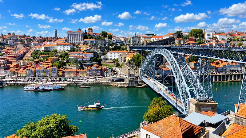
Porto
Porto is a compact northern city of steep streets, granite architecture, riverfront views, historic districts and strong local character.
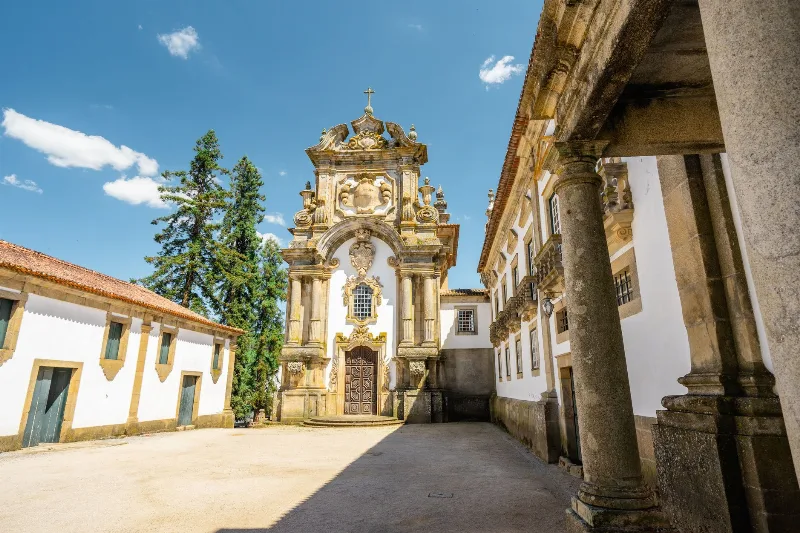
Vila Real
Vila Real is the district capital of northern Portugal's Trás-os-Montes, a granite town set above the Corgo gorge, with a noble old quarter, a university and the Baroque Palace of Mateus a short drive away.
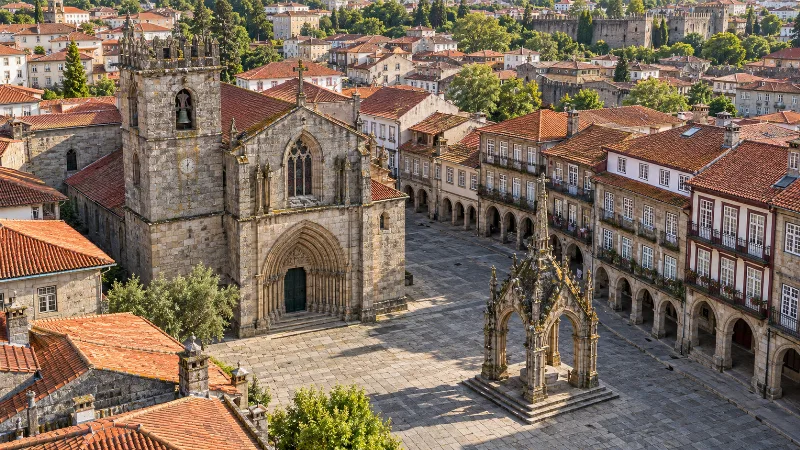
Guimarães
Guimarães combines a medieval castle, traditional squares and a UNESCO-listed historic centre closely linked to the early history of Portugal.
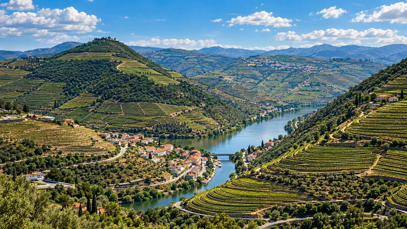
Northern Portugal
Explore Porto, the Douro Valley, Braga, Guimarães, Peneda-Gerês and the green landscapes, food traditions and historic cities of northern Portugal.
Guimarães Castle and the Birthplace of Portugal
Guimarães Castle is a granite stronghold in northern Portugal whose walls, keep and neighbouring Romanesque chapel are tied to the emergence of the Portuguese kingdom.