
Vila Real
Vila Real is the district capital of northern Portugal's Trás-os-Montes, a granite town set above the Corgo gorge, with a noble old quarter, a university and the Baroque Palace of Mateus a short drive away.
Vila Real is the capital of the district of the same name in northern Portugal and the largest town in the interior of the historical province of Trás-os-Montes e Alto Douro, a name that means the land beyond the mountains. It occupies a granite plateau at roughly 450 metres above sea level, above the point where the Corgo and Cabril rivers have cut deep, wooded gorges, and about 30,000 of the municipality's population of some 49,500 live in the built-up area. It is simultaneously an administrative and market centre, a university town and the practical base for exploring the vineyards of the Douro and the Palace of Mateus.
Location and general character
The city sits in the north-east interior of Portugal, roughly 100 kilometres east of Porto and within about an hour's drive of the Spanish border. Two motorways meet here, and the old roads to Bragança, Chaves and Viseu converge on the same plateau, which explains why a settlement of modest size has long functioned as the regional hub. The historic core clings to the narrow promontory between the two rivers, while twentieth-century expansion has spread northwards across flatter ground, where the university campus, the hospital and most of the newer housing are found. The commercial spine is the Avenida Carvalho Araújo, a broad avenue driven through the old street pattern in the early twentieth century and named after a naval officer from the city who was killed in the First World War.
The town has a distinctly upland feel: dark granite is the dominant building material, winters are cold and wet, and snow occasionally settles on the surrounding heights. It nevertheless retains a compact, walkable centre in which ordinary shops, cafés and offices occupy buildings that elsewhere would be museums.
History
Occupation of the wider area goes back to the Palaeolithic, and the Roman sanctuary at Panóias shows that the district was settled and organised in antiquity. After centuries of decline following the invasions of late antiquity, attempts were made to repopulate the region: a charter was granted at Constantim de Panóias in 1096, and a further attempt to establish a town in 1272 failed. The decisive foundation came in 1289, when King Dinis issued a charter for Vila Real de Panóias, from which the present name, meaning royal town, derives.
Its position at a crossroads allowed steady growth, and from the sixteenth century the town became the seat of the House of Vila Real, one of the most powerful aristocratic families in the kingdom. For a period it housed more members of the royal family than any Portuguese town except Lisbon, which earned it the nickname of the court of Trás-os-Montes. The family's fortunes collapsed after its involvement in the conspiracy against King João IV in 1641, but the manors remained. Vines were introduced to the municipality in 1764, and wine growing and the barrel trade shaped the local economy for generations. The town became the seat of a diocese in 1922, was elevated to city status in 1925, and was among the first Portuguese cities to have a public electricity supply, generated at a small hydroelectric plant on the Corgo from 1894. The founding of the University of Trás-os-Montes e Alto Douro in 1986, successor to a polytechnic institute created in 1973, gave the city a new economic footing.
Architecture and the old quarter
The cathedral, still widely called São Domingos, began as a Dominican convent founded in 1424 outside the medieval walls. It is the best surviving example of late Gothic architecture in the region, with Romanesque residues, a Manueline doorway crowned by an armillary sphere, a Baroque chancel and a belfry of 1742. Inside are fifteenth-century capitals carved with vintners, hunters and warriors, the tomb of the navigator Diogo Afonso, and a set of modern stained-glass windows.
Other buildings of note include the Capela Nova, or church of the Clérigos, a Baroque design attributed to Nicolau Nasoni; the church of São Pedro, with a gilded carved ceiling and painted tiles; the town hall, a nineteenth-century building whose double granite staircase came from a former Franciscan convent; and the pillory in front of it. On the avenue stands the Casa do Arco, the palace of the marquises of Vila Real, with a fine Manueline window, and a little further on the fifteenth-century house where the navigator Diogo Cão is said to have been born. Coats of arms carved above doorways are scattered throughout the old streets and in the Carreira garden, a reminder of the noble families who once lived here.
Natural surroundings
The escarpments of the Corgo, immediately below the old town, are the city's most striking natural feature, with rocky slopes dropping to a river that is crossed by a modern road bridge and, further out, by the old Ponte de Piscais. Viewpoints near the former cemetery and above the municipal park give wide views over the gorge and towards the mountains. To the north-west rise the Alvão hills and to the south-west the Marão range, both reaching around 1,400 metres.
The Alvão Natural Park, established in 1983 and the smallest in Portugal, protects granite uplands, grazing land and oak woods around villages such as Lamas de Olo, and contains the Fisgas de Ermelo waterfalls on the river Olo. The wooded municipal park, close to the Corgo, and the botanical garden on the university campus provide green space within the city itself.
Local culture and everyday life
Vila Real is a working provincial capital rather than a tourist resort. Its rhythm is set by the university, the hospital, the courts and the surrounding farms, with a student population of several thousand enlivening the cafés during term. The local kitchen is hearty upland fare; the best-known speciality is the covilhete, a small baked pie of meat or fish, alongside the almond and egg pastry known as crista de galo, and wines from the surrounding quintas. Weekly markets and religious festivals mark the calendar, and the city has a municipal theatre, a museum devoted to the old town and a music conservatory. Since the early 1930s a street circuit laid out on public roads has brought motor racing to the town, and it continues to host national and international touring car events.
Notable places
The Palace of Mateus stands about four kilometres east of the centre, on the road towards Sabrosa. Built from the 1740s for the family that later gave its name to a well-known rosé wine, it is a Baroque house traditionally attributed to Nicolau Nasoni, with a symmetrical façade topped by pinnacles and reflected in a tank in front. The estate includes formal gardens, a cedar avenue, a chapel and a cellar, and the foundation that runs it maintains a cultural and literary programme. Visits are to the house and gardens; the building remains a private family seat.
South-west of the city, near Constantim, the Sanctuary of Panóias is a Roman rock-cut complex of basins, steps and altars carved directly into granite, accompanied by Latin inscriptions from the second and third centuries. The medieval Torre de Quintela at Vila Marim and the chapel of São Brás, a national monument containing fourteenth-century tombs, are further monuments within the municipality.
Nearby destinations
The terraced vineyards of the Alto Douro Wine Region, a World Heritage landscape, begin within a short drive; Peso da Régua and Pinhão are the obvious bases on the river, and Lamego adds a cathedral and a Baroque pilgrim staircase. Sabrosa, the birthplace of the navigator Ferdinand Magellan, lies to the south-east, while Amarante, Chaves and Bragança are all reachable for day trips along the region's main roads. Walkers tend to head for the Alvão and Marão uplands, where marked trails link villages, waterfalls and high pasture.
Related content
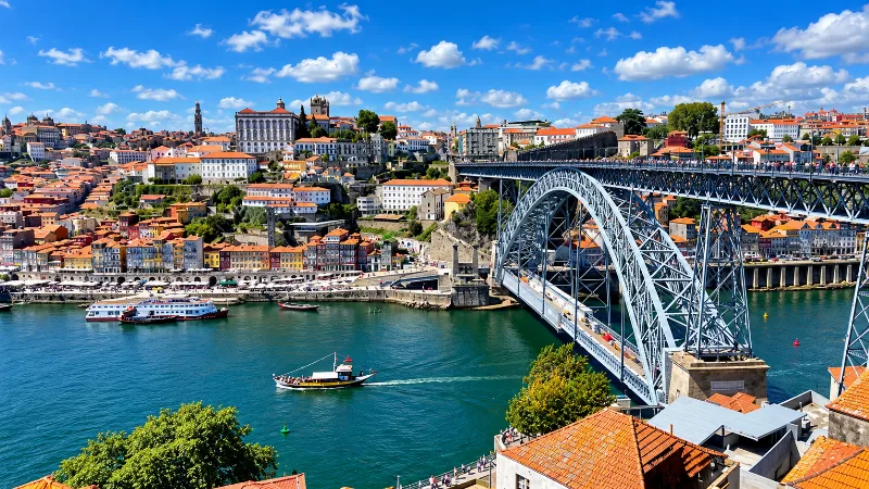
Porto
Porto is a compact northern city of steep streets, granite architecture, riverfront views, historic districts and strong local character.
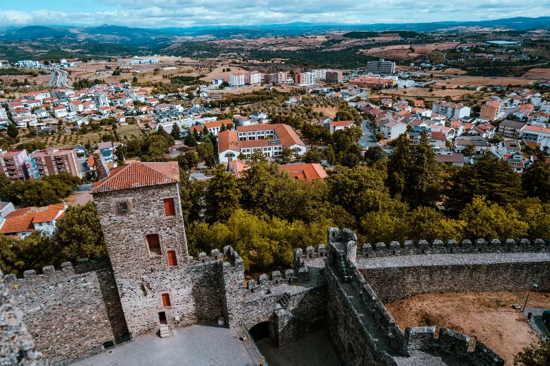
Bragança
Bragança is a granite-built city in north-east Portugal whose walled citadel, medieval castle and Romanesque civic hall stand above the surrounding Trás-os-Montes plateau, close to the Montesinho hills.
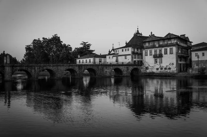
Chaves
Chaves is a granite town in Portugal's far north-east, built above the river Tâmega and shaped by Roman settlement, thermal water and centuries of frontier life. Its old bridge, castle keep and spa quarter give the place a character unlike anywhere else in Trás-os-Montes.
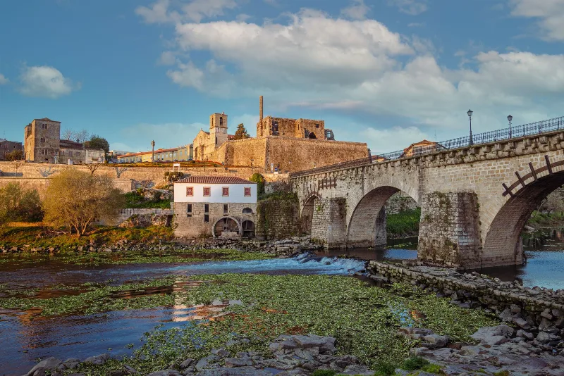
Barcelos
A Minho town built around a medieval bridge and a long-running Thursday fair, Barcelos is the home of Portugal's rooster legend and a living centre of popular craft.
Things to Do in Vila Nova de Gaia
Explore things to do in vila nova de gaia with a practical guide to notable places, regional landscapes, local heritage and travel planning in Portugal.
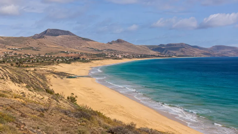
Porto Santo – Golden Sands and Volcanic Hills
Porto Santo combines a long sandy beach with dry volcanic hills, coastal viewpoints and open Atlantic scenery in the Madeira archipelago.