
Serra da Estrela: Granite Landscape and Glacial Valley
The highest ground in mainland Portugal is a weathered granite massif where ice once carved cirques, trough valleys and moraines. The Zêzere valley preserves some of the clearest glacial scenery in the country.
Serra da Estrela forms the westernmost spur of the Sistema Central, rising between the districts of Guarda and Castelo Branco in central Portugal. Its summit, the Torre, reaches 1,993 metres, making the range the highest in mainland Portugal. What distinguishes the Serra is not only its altitude but its geology: a broad massif of granite that has been weathered into rounded summits, boulder fields and open plateaus, and which during the last ice age carried small glaciers on its northern and eastern flanks. Those glaciers have gone, but the landforms they left behind remain legible in the landscape.
A Granite Massif Shaped by Weathering
The bedrock of the Serra da Estrela is mostly coarse-grained granite, intruded long ago and since exposed by erosion. Joints in the rock have guided centuries of freeze–thaw action, splitting the stone into blocky tors, scattered boulders and shallow basins that collect water and soil. Between the higher summits lie extensive plateaus covered in heather, low shrubs and summer pasture, where granite outcrops break through the ground cover in rounded, pale forms.
Altitude gives the range a climate unlike the rest of Portugal. Snow lies on the upper slopes in many winters, frost is common, and cloud can envelop the tops while the valleys below remain clear. This severity is part of the character of the place: the vegetation is low and hardy, the trees give way to shrubland above a certain height, and the light changes quickly across the open ground.
Reading the Traces of the Ice
During the last glacial period, small ice caps and valley glaciers occupied the highest hollows of the Serra. Although modest by alpine standards, they were large enough to sculpt the rock. Cirques – steep-walled, bowl-shaped hollows – cut back into the plateau margins, and below them the ice widened and deepened the valleys into broad U-shaped troughs with flat floors and steep sides. Ridges of unsorted debris, or moraines, mark positions where the ice paused or retreated, and granite blocks carried downhill and left behind lie scattered far from their source.
The glaciers had disappeared by the end of the last cold phase, roughly twelve thousand years ago. Small mountain lakes occupy some of the deepest hollows, fed by meltwater and rain, and peat bogs have formed in badly drained basins on the plateaus.
The Zêzere Glacial Valley
The river Zêzere rises high on the range, close to the great rocky buttress of Cântaro Magro, and flows eastwards through a valley that offers the clearest glacial reading in the Serra. Its upper course runs through a trough with a notably flat floor and steep granite walls, a form produced by ice that once filled the valley and ground back the sides. Above the valley head, the cirque walls rise sharply, and the whole arrangement of cliff, trough and moraine can be followed on foot.
Nearby, the Covão d'Ametade is a flat meadow where the stream meanders between granite boulders and stands of trees, a gentler counterpoint to the bare rock above. Downstream, the valley leads towards Manteigas, a town set on the valley floor and long associated with the wool and cheese economy of the range.
Pasture, Stone Walls and Seasonal Shelter
Grazing has shaped the upper Serra for centuries. Shepherds moved with their flocks onto the high pastures in summer, and the small stone casais – circular or rectangular shelters with low walls – are reminders of that seasonal life. Drystone walls divide the slopes, and the granite itself has long been worked into gateposts, bridges and building stone in the villages at the foot of the mountains.
The Serra da Estrela was declared a natural park in 1976 and remains the largest protected area in Portugal. Its interest is cumulative: geology, ice-carved topography, upland flora and a pastoral tradition that still marks the landscape.
Walking the High Ground
Marked trails cross the plateaus and follow the Zêzere valley, with long-distance routes linking the higher summits and the villages below. The terrain is not technically difficult, but the weather demands respect: mist, wind and sudden rain are common, and the open ground offers little shelter. Late spring and early autumn are usually the most comfortable seasons, while winter brings snow and ice to the highest paths. Walkers who take their time will notice how closely the scenery follows the grain of the granite and the work of vanished ice.
Related content
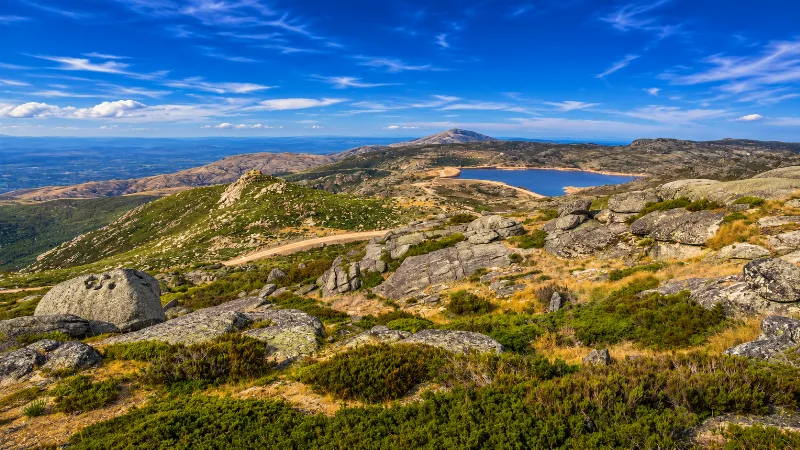
Serra da Estrela
Serra da Estrela is mainland Portugal’s highest mountain range, with granite plateaus, glacial valleys, villages, hiking routes and dramatic seasonal weather.
Exploring the Serra da Estrela Mountains
Explore exploring the serra da estrela mountains with a practical guide to notable places, regional landscapes, local heritage and travel planning in Portu
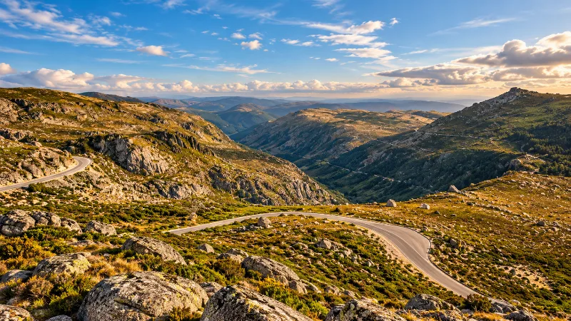
Central Portugal
Discover Coimbra, Aveiro, Serra da Estrela, Atlantic landscapes, mountain villages and the varied historic and natural scenery of central Portugal.
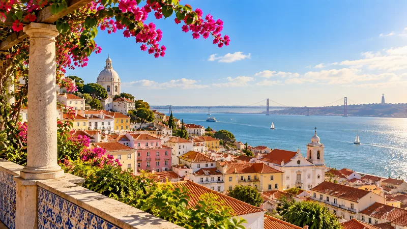
Best Time to Visit Portugal
Portugal can be visited year-round, but the best time depends on region, weather, crowd levels, outdoor plans and the type of trip you want.
Peneda-Gerês National Park and its Mountain Villages
Granite peaks, oak woods and stone-built settlements give Peneda-Gerês its particular character. An introduction to Portugal's only national park and the villages scattered through it.
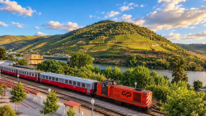
Portugal Without a Car: How Easy Is It?
Portugal can be explored without a car if you focus on major cities and rail corridors, but rural regions, remote beaches and mountains require more planning.

Portugal in Winter: What to Expect
Discover seasonal travel conditions, city experiences and winter landscapes in Portugal.
Portugal for Nature Lovers: How to Plan Your Trip
Combine Portugal’s coastal, mountain and island environments in a nature-focused itinerary.