
Alcácer do Sal
A hilltop town above the Sado river in Portugal's Alentejo, Alcácer do Sal combines a walled historic centre with rice fields, salt pans and a long trading past.
Alcácer do Sal is a small town in the Setúbal district of southern Portugal, built on a hill above the final navigable stretch of the Sado river. It gives its name to a wide, thinly populated municipality that reaches west towards the Atlantic and south across the flooded rice fields of the Sado valley. Many travellers pass through on the way to the coast, yet the town itself rewards a slower visit: a walled historic centre, a riverside quarter below it, and a surrounding landscape of water, mudflat and pine.
Location and general character
The town lies roughly 100 kilometres south-east of Lisbon and about 45 kilometres from Setúbal, on the northern bank of the Sado. The old centre climbs a steep hill, its streets folding around the castle at the summit, while the lower town spreads out beside the river where the road crosses towards the Alentejo coast. Because the municipality extends far beyond the town itself, Alcácer do Sal administers a scattered territory of hamlets, farmland and forest, including the parishes of Torrão, Santa Susana and Comporta.
Despite its small size, the town has the feel of a local capital. There are schools, a health centre, a daily market and a handful of cafés around the square, and the streets are busy with people going about ordinary business rather than with visitors. The pace is unhurried, and the atmosphere is closer to the quiet Alentejo interior than to the resort coast further west.
History
The hill has been occupied since prehistoric times, but it was the Romans who gave the settlement its first recorded importance. They knew it as Salacia, a port and industrial centre whose salt works and fish-salting tanks supplied much of the western peninsula. Archaeological excavations have uncovered a necropolis, sections of walling and quantities of pottery and coins, and many of these finds are now held in the town's museum.
After the Roman period the town passed through Visigothic and then Islamic hands, and it was under Muslim rule that it acquired the name by which it is known today, derived from the Arabic word for a fortress and joined to the Portuguese word for salt. Alcácer do Sal was taken in 1217 by King Afonso II, supported by a fleet of northern European crusaders, and was subsequently handed to the Order of Santiago, which made it one of its principal seats and rebuilt the defences. The river later silted up, trade moved to Setúbal and Lisbon, and the local economy settled into a quieter rhythm based on salt, rice, cork and pine resin.
Architecture of the old town
The castle dominates the skyline, with a tall keep and long stretches of wall enclosing a courtyard and the church of Santa Maria do Castelo, which was rebuilt in the medieval period on the site of the town's mosque. Part of the castle complex has since been adapted for accommodation, but the walls, towers and gateways can still be explored and give a clear sense of how the hill was fortified.
Below the walls, the streets are lined with whitewashed houses trimmed in blue or grey, many with terracotta roofs, small walled gardens and wrought-iron balconies. Several townhouses from the sixteenth and seventeenth centuries survive with carved stone doorways, and the pillory in the main square marks the point where the old municipal life was centred. The riverside quarter is plainer, with warehouses and modest cottages that once served the river trade.
The Sado valley and estuary
Downstream from the town, the river opens into a broad estuary bordered by marshes, salt pans and embanked rice fields, a landscape that changes colour with the seasons and floods deliberately in spring. The estuary is a protected nature reserve and supports a resident population of bottlenose dolphins, along with herons, egrets, flamingos and large numbers of migrating waders. Beyond the wet ground, the land rises into low hills covered with cork oak and umbrella pine, managed for cork, resin and timber.
To the west, the municipality reaches the Atlantic, where long, windswept beaches and dunes face the ocean. The contrast between the sheltered, cultivated river valley and the exposed coast is one of the defining features of the area.
Local culture and everyday life
Rice and salt shape both the working year and the kitchen. The rice grown in the valley is used in the seafood rice dishes served in local restaurants, alongside fish from the estuary and salt from the pans that still operate near the river mouth. Cork stripping in summer and the maintenance of irrigation channels provide seasonal work, and agriculture remains the backbone of the surrounding parishes.
Religious feast days and summer fairs bring the population together in the squares, and the town's museum and cultural centre host exhibitions on the archaeological and maritime history of the region. Life is organised around family, the parish and the agricultural calendar rather than around tourism.
Notable places
The castle and its church
The fortified enclosure is the obvious starting point for any visit, offering views over the river and the plain. The adjoining church of Santa Maria do Castelo retains a Gothic portal and an interior of considerable age, and the surrounding terrace is the quietest spot in town.
The riverside and the old centre
A walk down from the castle passes the pillory, several old manor houses and the parish church before reaching the water, where the road bridge and the small harbour show how closely the town's fortunes were tied to the river.
Carrasqueira and the estuary margins
West of the town, near the hamlet of Carrasqueira, a long wooden pier on stilts runs out across the mudflats and is still used by local fishermen. It is one of the most distinctive structures in the region and a good place to watch birds and the movement of the tide.
Nearby destinations
Comporta, with its dunes and beaches, lies within the same municipality to the west, while the Tróia peninsula can be reached by ferry from Setúbal. Inland, Grândola and Santiago do Cacém are market towns with their own castles and historic centres, and the village of Torrão to the north marks the transition into the open Alentejo plain. Setúbal, with its own river mouth and fishing quarter, is the nearest city of any size.
Related content
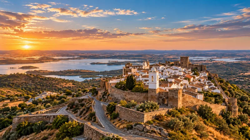
Alentejo
Discover Alentejo through Évora, whitewashed towns, cork-oak landscapes, vineyards, regional food and the broad rural interior of southern Portugal.
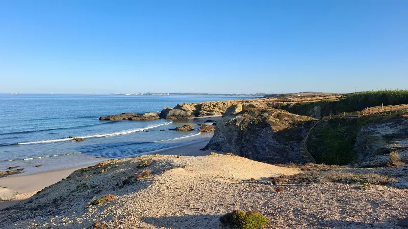
Setúbal
A working port on the north bank of the Sado estuary, Setúbal combines a long maritime history, Manueline architecture and the limestone hills of Arrábida. Ferries, a renowned fish market and a resident dolphin population are part of everyday life there.
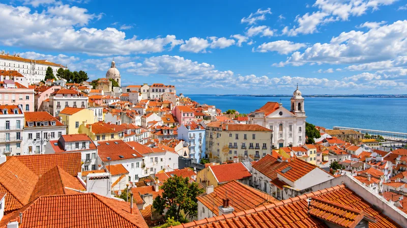
Lisbon
Portugal’s capital combines historic neighbourhoods, river views, tiled façades, viewpoints and an energetic everyday city life.
Grândola
A small Alentejo town in the Setúbal district, Grândola sits between cork oak plains and the wooded hills of the Serra de Grândola, and is bound up with the song that signalled the 1974 revolution.
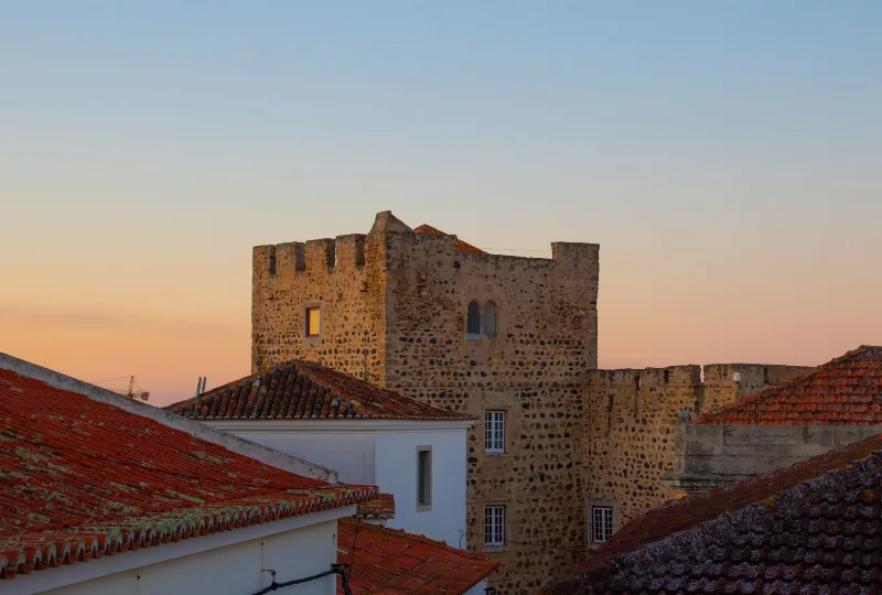
Sines
A working Atlantic port on the Alentejo coast, Sines combines a small whitewashed old town, a castle linked to Vasco da Gama and long stretches of dune-backed beach within a municipality shaped by heavy industry.
Palmela
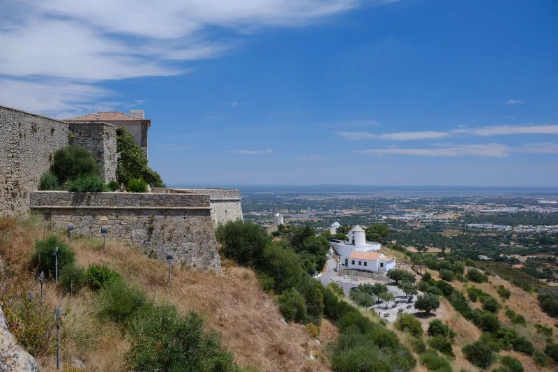
A hilltop town in the Setúbal district, Palmela combines a long medieval castle wall, sandy-soil vineyards and wide views over the plain between the Tagus and the Sado estuary.