
Grândola
A small Alentejo town in the Setúbal district, Grândola sits between cork oak plains and the wooded hills of the Serra de Grândola, and is bound up with the song that signalled the 1974 revolution.
Grândola is a small town in the Alentejo region of southern Portugal, set where open plains of cork oak and cereal give way to the wooded ridge of the Serra de Grândola. It is the seat of one of the country's larger municipalities, a territory that runs from the Sado estuary almost to the Atlantic, and it is known throughout Portugal as the place that inspired a song broadcast as the signal for the revolution of 25 April 1974.
Location and general character
The town stands at roughly 100 metres above sea level on gently undulating ground, about 60 kilometres south of Lisbon and a similar distance north of the Algarve. It administers a municipality of some 826 square kilometres, divided into four parishes: Grândola and Santa Margarida da Serra, Carvalhal, Melides, and Azinheira dos Barros with São Mamede do Sádão. The 2021 census recorded 13,822 inhabitants across the whole municipality, a density of around seventeen people per square kilometre, which indicates how much of the land remains wooded, grazed or under extensive cultivation.
The climate is Mediterranean: summers are hot and very dry, winters mild and damp, and almost all the year's rainfall of roughly 540 millimetres arrives between October and March. The A2 motorway passes a few kilometres west of the town, the older IC1 road runs closer to the centre, and the Linha do Sul railway connects the station with Lisbon and the Algarve. The A26 links the area with Sines and Beja.
History
Archaeological work has identified human occupation of the territory from the Mesolithic period onwards, with the Roman era probably representing its demographic and economic high point. Roman remains include the dam at Pego da Moura, mining traces in the Serra da Caveira and, at Tróia on the coast, one of the largest fish-salting complexes of the western Roman empire. After the conquest of the region in 1217 the land was granted to the Military Order of Santiago, which established a commandery based on the village; João Falcão is recorded as its first commander in the 1420s. By the late fourteenth century Gramdolla was an established settlement of a few hundred people.
On 22 October 1544 King John III granted the village a charter, raising it to the status of vila and creating a municipality independent of Alcácer do Sal, with the parishes of Grândola, Barros and Santa Margarida da Serra. Civic and religious buildings followed: a town hall, jail, pillory, hospital and Misericórdia, and in 1579 a communal granary that lent seed to poorer farmers and operated until the nineteenth century. In 1855 the municipality was enlarged to take in Melides and São Mamede do Sádão, reaching the coast, and Carvalhal became a separate parish in 1987.
The twentieth century reshaped the local economy. Cork factories were established, wheat-growing was promoted under the Estado Novo's Campanha do Trigo, and rice came to dominate the lowlands around Melides and Carvalhal. The pyrite mine at Lousal opened in 1936 and supported a village of about 2,000 people at its height, before closing in 1988. Population peaked at just over 21,000 in 1950, then fell as agriculture, mining and cork declined, bringing emigration and an ageing population. Grândola's musical society, founded in 1912, hosted José Afonso on 17 May 1964; his song Grândola, Vila Morena, recorded in 1971, was broadcast by the Armed Forces Movement in the early hours of 25 April 1974.
Architecture and townscape
The historic centre is compact and largely built of whitewashed houses with low roofs, some of them in rammed earth and adobe, arranged around Praça D. Jorge and the Jardim 1.º de Maio. A third nucleus, the Terreiro do Poço Novo, developed in the eighteenth century. The buildings span several centuries and mix plain vernacular frontages with a handful of houses carrying stone coats of arms.
The parish church, with origins in the fifteenth century, presents a deliberately plain exterior with few openings; inside, the altars and side chapels were reworked in Baroque and Neoclassical taste, and the collection includes a late sixteenth-century Mannerist painting of the Pentecost and panels of tiles. The former church and hospital of the Misericórdia, built in the sixteenth century, later became the Cineteatro Grandolense, opened in 1934, and the adjoining headquarters of the Sociedade Musical Fraternidade Operária Grandolense. On the edge of the centre, an elliptical memorial wall dedicated to 25 April carries a painted blue carnation, the names of the Captains of April and the words and score of the song.
Cork country and the Serra de Grândola
The landscape around the town is dominated by the montado, a managed ecosystem of cork oak and holm oak that survives only in the south-west of the Iberian peninsula and parts of North Africa. The cork bark is stripped by hand on a nine-year cycle, and the hills above the town are among the most important cork-producing areas in the Alentejo. The terrain is uneven, rising to about 326 metres at its highest point, with streams in the valleys and wide views from the ridges. Scattered across the slopes are traditional montes, farm buildings of rammed earth and adobe, some still in use and others abandoned. A marked circular walking route of roughly 21 kilometres crosses the range.
Local culture and everyday life
Daily life is concentrated in the town, where the shops, schools, health centre and weekly routines serve a wide and thinly populated hinterland. Agriculture, cork processing and services remain the main sources of work, and many residents commute to Sines or further afield. Craft traditions include cork work, wrought iron, ceramics and textiles, while the philharmonic society runs a music school with dozens of pupils and a band that plays at local festivals.
The largest event is the Feira de Agosto, held at the end of August and one of the biggest fairs on the Alentejo coast, with handicraft stalls, food taverns and horse riding. The town's municipal holiday falls on 22 October, the anniversary of the 1544 charter. In May, the image of Nossa Senhora da Penha de França, held by local people as their protector, is carried in procession from the hill sanctuary into the parish church. Local sweets include alcomonias and bolo das rosas.
Notable places
- Santuário de Nossa Senhora da Penha – a seventeenth-century chapel on the hill about three kilometres from the centre, with eighteenth-century figurative tile panels, a gilded main altarpiece and a broad natural viewpoint over the town.
- Núcleo Museológico de São Pedro – housed in the sixteenth-century church of São Pedro, with displays on the archaeology and history of the municipality.
- Santa Margarida da Serra – a hill village of whitewashed houses with a church renovated in the twentieth century, typical of the serra's settlement pattern.
- Lousal – a former pyrite mining village where the open pit, pithead buildings and workers' housing survive.
- Sculpture of José Afonso – a steel piece by António Trindade, installed in 1999, showing a tree, a hand holding a carnation and the singer's face.
Nearby destinations
South-west of the town, Melides is a low, white village beside a freshwater lagoon separated from the sea by dunes and rice fields, with a small pottery tradition and an annual fair in November. Further along the coast lie Carvalhal and Comporta, both within the municipality, and the Tróia peninsula, reached by ferry from Setúbal and containing the Roman industrial ruins and a long Atlantic beach. Inland, Alcácer do Sal stands about 30 kilometres to the north on the Sado, and Santiago do Cacém and the Roman site of Miróbriga about 35 kilometres to the south-west, close to the industrial port of Sines.
Related content
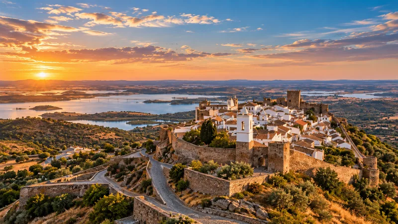
Alentejo
Discover Alentejo through Évora, whitewashed towns, cork-oak landscapes, vineyards, regional food and the broad rural interior of southern Portugal.
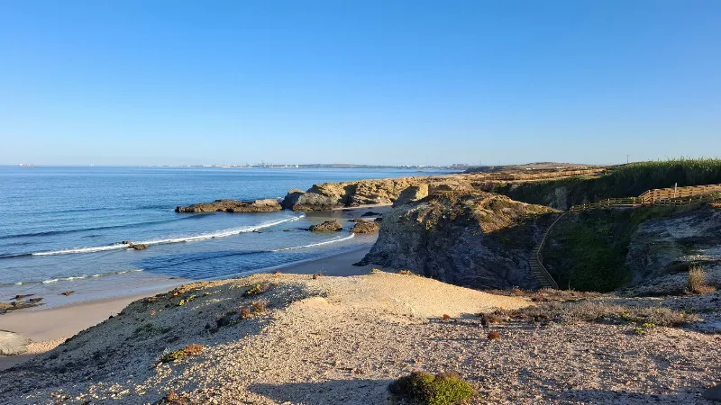
Setúbal
A working port on the north bank of the Sado estuary, Setúbal combines a long maritime history, Manueline architecture and the limestone hills of Arrábida. Ferries, a renowned fish market and a resident dolphin population are part of everyday life there.
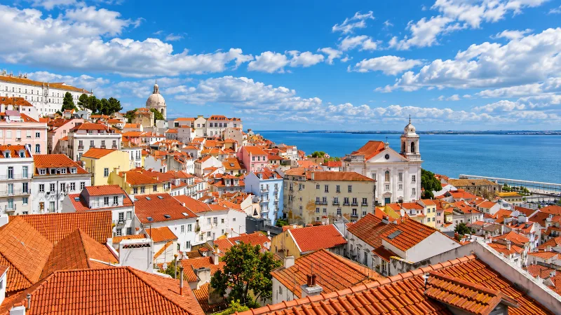
Lisbon
Portugal’s capital combines historic neighbourhoods, river views, tiled façades, viewpoints and an energetic everyday city life.
Alcácer do Sal
A hilltop town above the Sado river in Portugal's Alentejo, Alcácer do Sal combines a walled historic centre with rice fields, salt pans and a long trading past.
Azeitão Sheep's Cheese and the Setúbal Peninsula
Azeitão cheese is a soft sheep's milk cheese from the villages below the Serra da Arrábida, set with cardoon thistle and made by small dairies on the Setúbal Peninsula.
Setúbal Grilled Sardines and Fishing Culture
Setúbal's grilled sardines are a direct expression of the town's long fishing heritage, shaped by the Sado estuary, the charcoal grill and the Portuguese summer table.