
Elvas
A hill town in Portugal's Alto Alentejo, Elvas is defined by the star-shaped defences and the long Amoreira Aqueduct that together form a UNESCO World Heritage Site. Its walled centre still holds the churches, barracks and military buildings of a border garrison.
Elvas is a hill town in the Alto Alentejo, standing a short distance from the Spanish frontier on the old road between Lisbon and Madrid. Its defences, laid out in the shape of a star, and the Amoreira Aqueduct that carried water into the town were together inscribed as a UNESCO World Heritage Site in 2012. Inside the walls, churches, barracks and military buildings still shape the street plan, and most of the town's monuments lie within a few minutes' walk of one another.
A frontier town in the Alto Alentejo
Elvas belongs to the district of Portalegre and lies roughly 200 kilometres east of Lisbon and about 90 kilometres east of Évora. The Spanish city of Badajoz is close enough to be reached by car in a quarter of an hour or so, and the border crossing on the Caia has long given the town its strategic importance. Elvas occupies a hill above a shallow, gently undulating basin, with the older quarters crowded onto the slope below the castle and the modern town spreading outwards beyond the bastions in residential streets, schools and small commercial estates.
The climate is typical of the interior: summers are long and very hot, with temperatures regularly passing 35°C, while winters bring cold nights and occasional morning frost. Rainfall is modest and falls mainly between autumn and spring. Many residents work in local services, in the processing of agricultural produce or in the public sector, and the shops and cafés of the centre draw a steady flow of visitors from across the border, so Spanish is heard as often as Portuguese in the main square.
From Islamic stronghold to garrison town
The site formed part of al-Gharb al-Andalus, the western Islamic territory whose chief cities were Badajoz and Mérida. Portuguese forces took Elvas briefly in 1166 and again in 1220, but the castle was only secured for good in 1226, during the reign of Sancho II, and was rebuilt and completed within a few years. The oldest surviving walls, together with the fourteenth-century circuit begun under Fernando I, show how the settlement grew as three successive walled towns between the tenth and fourteenth centuries.
After Portugal recovered its independence in 1640, the town was turned into one of the country's principal fortresses. Work on the bastioned defences began in 1643 under the direction of the Dutch Jesuit padre Cosmander, who adapted the geometric theories of the military engineer Samuel Marolois to the uneven ground. In 1658 a Spanish army laid siege to Elvas and bombarded it for months; on 14 January 1659 a Portuguese relief force under António Luís de Meneses, Count of Cantanhede, broke through the besiegers' lines at the Murtais and put the Spanish army to flight. During the Peninsular War the fortress served as a base for Wellington's operations, and three small outworks were added between 1810 and 1812. The defences were obsolete well before the end of the nineteenth century, and the town lost its military function, leaving the walls and forts largely as they stood.
Walls, bastions and the Amoreira Aqueduct
The enceinte runs for nearly ten kilometres and presents twelve fronts, seven full bastions and four half-bastions, protected by dry ditches, counterscarps and ravelins. Two outlying forts complete the system: Santa Luzia, built in the 1640s on a hill to the south-east and linked to the town by a covered way, and Nossa Senhora da Graça, laid out from the 1760s on higher ground to the north to answer the greater range of contemporary artillery. Graça is the more elaborate of the two, with a central redoubt stacked in several levels from the cistern and magazines up to the governor's terrace, and long views over the plain towards Spain. The smaller fortlets of São Mamede, São Pedro and São Domingos, added in the early nineteenth century, sit on the western side.
The Amoreira Aqueduct is the town's other great structure. It carries water about seven kilometres from springs to the north-west, arriving through a dense run of arches that reaches roughly 31 metres at its highest and stacks several tiers of arcading one above the other; the total is usually given as 843 arches. Construction began in the sixteenth century to a design attributed to Francisco de Arruda and was completed in the early seventeenth, and its purpose was practical rather than ornamental: a garrison that could be supplied with water could hold out through a long siege. The aqueduct can be followed on foot for much of its length, crossing farmland and gardens before entering the town.
Olive groves and the river country
Beyond the walls the land opens into rolling country of olive groves, holm oak, cereals and vineyards, with hedgerows and dry stone boundaries marking the fields. To the west the ground falls towards the Caia, a tributary of the Guadiana, and further south-west lies the wide water of the Alqueva reservoir. North of the town the terrain rises towards the Serra de São Mamede, a granite range of chestnut woods and rocky slopes that is protected as a natural park. Spring brings a short burst of wild flowers and green pasture, and the plains in winter attract large numbers of common cranes and other farmland birds.
Local culture and everyday life
Elvas keeps a slow, provincial daily rhythm centred on its squares, markets and church calendar. The great event of the year is the Feira de São Mateus, which opens on 20 September with the Procissão dos Pendões, a silent procession of banners that travels from the former cathedral to the Sanctuary of Senhor Jesus da Piedade, a pilgrimage church begun in the 1730s. The fair runs for about a week, and families from the town and neighbouring parishes still camp beside the sanctuary, a custom passed down through generations. Alongside the religious observance there are agricultural displays, music and a good deal of eating and drinking.
The cooking of the region is plain and substantial, built on olive oil, bread, pork, lamb and river fish, with dishes such as migas, açorda and slow-cooked stews appearing on most menus. Elvas is also known for its plums, sold dried and preserved, and for wines from the surrounding Alentejo vineyards. Outside festival time the town is quiet, and much of local social life takes place in cafés, at the Saturday market and on the shaded benches of the Praça da República.
Castle, churches and collections
The castle occupies the highest point of the old town, built over an Islamic fortress whose inner walls survive beneath it; its keep was rebuilt in 1488, and the terrace gives a clear view over roofs, bastions and the aqueduct. Below it, the Torre Fernandina, a fourteenth-century tower from the medieval circuit, contains a small exhibition on the town's fortifications. The Praça da República is dominated by the former cathedral, the church of Nossa Senhora da Assunção, a sixteenth-century building with Gothic and Manueline elements, a chancel of polychrome marble added in the 1730s and a gilded organ commissioned from an Italian builder in the 1760s. The nearby church of the Domínicas has an unusual octagonal plan and walls covered in seventeenth-century blue and yellow azulejos. A slender Manueline pillory, the Renaissance fountain of the Misericórdia and several former convents complete the historic centre, while the town's collections include a military museum, a photography museum and a contemporary art museum built around the António Cachola collection.
Around Elvas
The Spanish border is only a few kilometres away, and Badajoz, with its cathedral, Alcazaba and long history, makes an obvious excursion. Campo Maior, to the north, retains a castle and a compact old centre, while the ruined hilltop fortress of Juromenha looks out over a bend of the Guadiana to the south-west. Further afield, Estremoz is known for its marble and castle, Vila Viçosa for the former royal palace of the Braganzas, and Marvão for a village perched on a rocky spur inside the Serra de São Mamede. Évora, the region's historic capital, lies about 90 kilometres away, and the Alqueva reservoir offers walking and birdwatching along its shores.
Related content
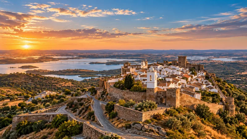
Alentejo
Discover Alentejo through Évora, whitewashed towns, cork-oak landscapes, vineyards, regional food and the broad rural interior of southern Portugal.
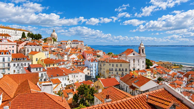
Lisbon
Portugal’s capital combines historic neighbourhoods, river views, tiled façades, viewpoints and an energetic everyday city life.
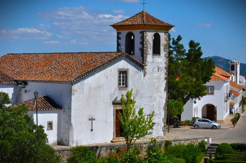
Portalegre
A hill town in the Alto Alentejo where the plains meet the Serra de São Mamede, Portalegre is known for its medieval walls, Baroque churches and handwoven tapestries.
Elvas Star Fort and Amoreira Aqueduct
The border town of Elvas in Portugal's Alentejo preserves one of Europe's largest star-fort systems, together with the long Amoreira Aqueduct that once carried its water across the valley.
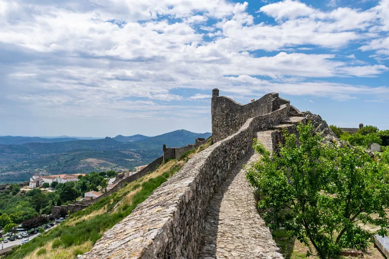
Marvão
A granite hilltop town in Portugal's Alto Alentejo, Marvão grew around a castle on a quartzite ridge of the Serra de São Mamede, close to the Spanish border. Its walled streets, defensive architecture and mountain setting tell the story of a place built as much for protection as for living.
Best Regions to Visit in Portugal
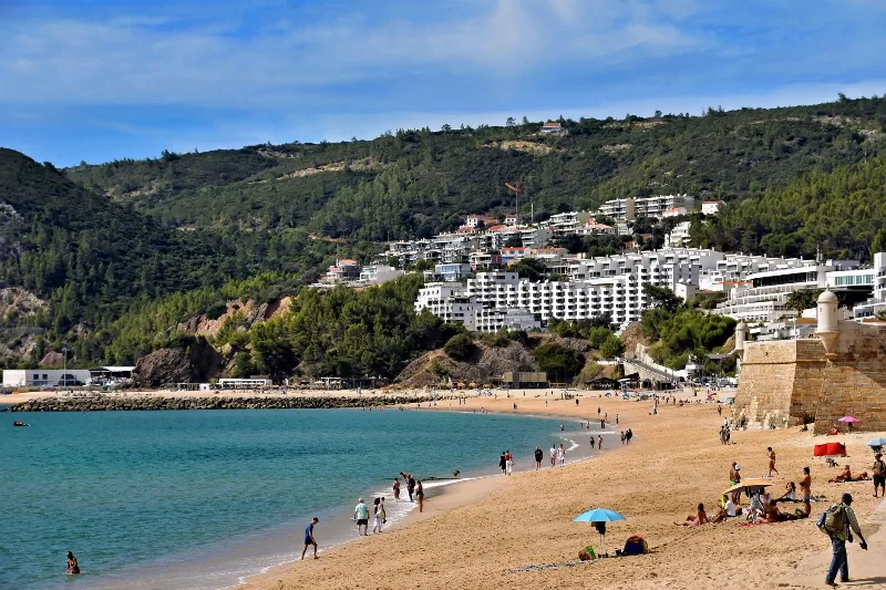
Discover Portugal's most popular travel regions, from the historic cities of Lisbon and Porto to the beaches of Algarve, the countryside of Alentejo and the Atlantic islands.