
Portimão
A working river town in the western Algarve, Portimão grew around sardine fishing and canning before tourism reshaped its coast. Its riverside museum, old churches and long cliff-backed beach trace that shift.
Portimão occupies the eastern bank of the Rio Arade, a few kilometres inland from the point where the river opens into the Atlantic. It is the largest town in the western Algarve and the administrative centre of a municipality that also takes in Alvor and Mexilhoeira Grande. Although it is now best known for the beach resort of Praia da Rocha, the town itself remains a place of quays, warehouses, markets and ordinary residential streets, and its character owes more to river trade and fish processing than to holidaymaking.
Where Portimão Sits and What It Is Like
The town centre clusters on rising ground above the Arade, roughly two kilometres from the open sea. Opposite, on the western bank, the municipality of Lagoa and the fishing village of Ferragudo face Portimão across the water, and the two shores are linked by a road bridge and, further upstream, by a small passenger ferry. Lagos lies about twenty kilometres to the west, Faro and its airport around seventy kilometres east, and the Serra de Monchique rises inland to the north. Because the Arade once carried goods from the interior down to the coast, Portimão developed as a port rather than as a purely agricultural settlement, and its street pattern still bends towards the river. The built-up area is dense and largely modern in appearance, with a compact historic core, a long riverside frontage and a separate resort strip at Praia da Rocha.
Fishing, Canning and the Making of a Town
People have lived around the estuary for millennia. Megalithic tombs at Alcalar, in the parish of Mexilhoeira Grande, date from the third millennium BC, and the Romans left traces of a settlement and a villa site nearby. The Moors held the river mouth for centuries, and the town was taken by Portuguese forces at the end of the twelfth century. It remained a modest place for a long time, known as Vila Nova de Portimão, and was badly damaged by the earthquake of 1755, which destroyed much of the riverside quarter.
The town's modern identity was forged in the late nineteenth century, when the canning of sardines became its dominant industry. A Spanish-founded company, Feu Hermanos, built one of the largest factories on the waterfront at the start of the twentieth century, and by then roughly two dozen canneries were operating in the town, drawing workers in from the countryside. Fish was landed at the quays, cleaned and packed within hours, and the tins were exported across Europe and beyond. The trade contracted after the Second World War and the last factory closed in the 1980s, leaving a stretch of industrial buildings that has since been partly reused. Portimão was formally raised to city status in 1924, during the presidency of Manuel Teixeira Gomes, a writer and diplomat born in the town.
Architecture and the Shape of the Centre
The parish church, the Igreja Matriz, was begun in the fifteenth century in a late Gothic style and rebuilt after the earthquake, and it stands close to the former Jesuit college, a large seventeenth-century complex whose church is dedicated to São Francisco Xavier. That building is among the most imposing pieces of religious architecture in the Algarve, with a symmetrical stone facade facing the Praça da República, a single vaulted nave and gilded baroque altarpieces. Along the river, the scale changes: long sheds, workshops and the shell of the former São Francisco convent sit beside the water, while the streets behind them climb towards small squares and whitewashed houses with tiled roofs. Twentieth-century apartment blocks dominate the outskirts, and the social housing estates built for factory workers in the 1930s and 1950s survive near the museum.
The Estuary, the Cliffs and the Hinterland
The Arade estuary is shallow and tidal, with sandbanks, reed beds and salt marsh that shelter wading birds and fish fry. A short distance west, the Ria de Alvor forms a second wetland of dunes, creeks and mudflats, protected as a nature reserve and used by migrating species in spring and autumn. South of the town, the coast turns to cliffs of soft limestone and sandstone, cut into stacks, arches and small coves around Praia da Rocha and the neighbouring Praia dos Três Castelos. Inland, the land rises towards the wooded Serra de Monchique, which reaches its highest point at Fóia and gives the western Algarve its backdrop of dark green ridges. The climate is Mediterranean, with dry, bright summers, mild winters and most rain falling between November and March.
Working Life and Local Culture
Fishing still matters here. Boats unload at the harbour and the daily auction sets the tone of the morning, and sardines remain the town's emblem, eaten grilled and salted in summer, when the fish is at its fattest. Each August the riverside hosts a sardine festival that fills the quay with grills, music and long tables, and the smell of charcoal smoke drifts across the old centre. Outside the tourist season, life is anchored in the municipal market, the cafés around the Praça da República, the rowing and sailing clubs on the river and the ferries that carry passengers between Portimão and Ferragudo. The town's industrial past is kept alive less in monuments than in family memory, oral history and the reconstructed production lines in its museum.
Places Worth Seeing in the Town
The Museum of Portimão occupies the former Feu Hermanos and La Rose canning factory on the waterfront and opened in 2008. Its permanent exhibition follows the region from prehistory to the canning era, reconstructs the fish-processing rooms with life-size figures of the women who worked there, and holds material connected with Manuel Teixeira Gomes. The building received the Council of Europe Museum Prize in 2010. Praia da Rocha, separated from the town by a short stretch of modern building, has a broad beach backed by high cliffs, a promenade along the Avenida Tomás Cabreira, and at its eastern end the Fortaleza de Santa Catarina de Ribamar, a seventeenth-century coastal fort later used as a viewpoint. The ruined castle at Alvor and its rebuilt parish church, the megalithic monuments at Alcalar and the old riverside streets of Ferragudo, reached by ferry, all lie within the municipality or just across the water.
Destinations Within Easy Reach
Silves, the former Moorish capital of the Algarve, is a short drive north and retains a hilltop castle, a Gothic cathedral and a riverfront that once handled the trade of the interior. Caldas de Monchique, set in wooded hills above the town, has mineral springs that attracted visitors long before the coast became popular, and the upper slopes of the range offer walks and wide views towards the sea. Lagos, with its walled old town, slave-trade museum and the rock formations at Ponta da Piedade, lies west along the coast, while Lagoa and its pottery workshops sit inland between Portimão and the cliffs. A little further east, the beaches and estuaries around Albufeira and Armação de Pêra continue the same pattern of limestone coast and holiday development.
Related content
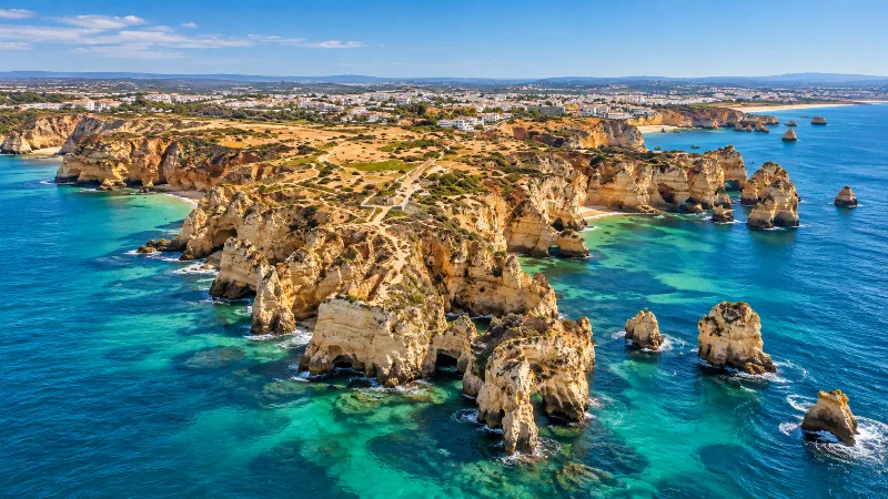
Algarve
Explore the Algarve through sandy beaches, limestone cliffs, Faro, Ria Formosa, coastal trails, historic towns and southern Portuguese landscapes.
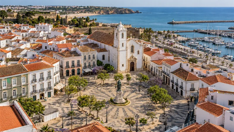
Lagos
Lagos combines a historic Algarve centre, small sandy beaches, coastal cliffs and the rock formations of Ponta da Piedade.
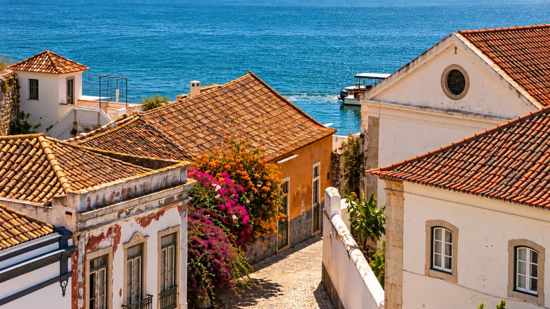
Faro
Faro is the Algarve’s regional capital, combining a walled old town, historic architecture and direct access to the Ria Formosa lagoon.
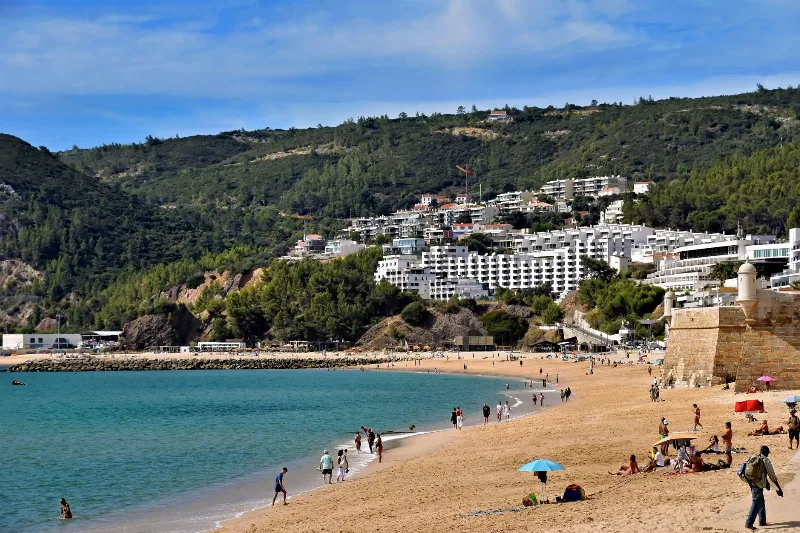
Best Regions to Visit in Portugal
Discover Portugal's most popular travel regions, from the historic cities of Lisbon and Porto to the beaches of Algarve, the countryside of Alentejo and the Atlantic islands.
Monchique Mountain Springs and the Village of Caldas de Monchique
Caldas de Monchique is a small spa village in the Serra de Monchique, built around warm mineral springs in a sheltered, wooded valley in the western Algarve.
Ponta da Piedade Clifftop Paths in the Western Algarve
The limestone headland of Ponta da Piedade, just south of Lagos, is threaded with clifftop paths above sea stacks, arches and hidden grottoes. This guide explains the geology, the walking routes and the natural detail that make the headland distinctive.