
Porto Moniz
Porto Moniz is a small municipality on Madeira's north-west coast, known for seawater pools set in volcanic rock, a working harbour and steep green farmland. This guide covers its history, architecture, natural setting and nearby places.
Porto Moniz is a small municipality at the north-western tip of Madeira, the Atlantic island that forms part of Portugal. It is best known for seawater pools formed in volcanic rock at the water's edge, but the town is also the centre of a working rural parish where fishing, small-scale farming and tourism share the same narrow streets. Steep green slopes drop to a dark, wave-cut shoreline, and the road that connects the town to the rest of the island passes through tunnels cut into headlands rather than along the coast.
Location and general character
The municipality occupies Madeira's north-west corner, bordered by São Vicente to the east and Calheta to the south. It is divided into four parishes: Porto Moniz itself, Ribeira da Janela, Seixal and Achadas da Cruz. Together they hold roughly 2,500 residents, a figure that has fallen over recent decades as younger people have moved towards Funchal. The built-up area is compact enough to cross on foot, with a church, a harbour and a seafront laid out with paths, while most of the land is given over to terraced slopes, ravines and forest. Above the coast the ground rises steeply towards the Paul da Serra plateau, and the character of the place is set by that meeting of mountain and ocean.
History
The north-west was among the later parts of Madeira to be settled, and land here was granted in the fifteenth and sixteenth centuries. Local tradition links the name to Francisco Moniz, a nobleman from the Algarve said to have established an estate in the area in the 1530s. For centuries the sea served as the main highway: produce left by boat from the small harbour, travellers arrived the same way, and overland journeys required long detours on foot or by mule along the ravines. The municipality was created in the 1830s, lost its independent status for a period in the middle of the nineteenth century and was restored a few years later. Road access improved gradually during the twentieth century, and the tunnels driven through the coastal cliffs in the later decades transformed the journey from Funchal. The isolation that had shaped the local economy ended largely within living memory.
Architecture and the town centre
Houses are typically whitewashed, with terracotta roofs, stone doorways and small balconies, and dark basalt from local quarries appears in walls, kerbstones and the retaining walls that hold terraces above the streets. The parish church of São João Baptista stands close to the waterfront and remains the focus of religious life in the town. The most substantial historic structure is the Forte de São João Baptista, a small seventeenth-century coastal fortification built on the rock beside the harbour, its thick walls a reminder of how exposed this stretch of coast has always been. Below it, the harbour shelters fishing boats, and the seafront has been landscaped so that the fort, the pools and the centre are linked by walking routes.
The lava pools and the shoreline
The pools result from lava that reached the sea and cooled into dark, blocky basalt, leaving hollows and channels that the tide fills. Two separate complexes exist: the older, smaller pools at the western end of the town, and a larger lido complex beside them that has been adapted with access ramps, changing facilities and lifeguard cover. Water is renewed by the Atlantic with each tide, so the pools stay cold and clear. In heavy winter swell they are closed to bathers, and waves breaking over the surrounding rock are a common sight. Beyond the pools, flat rock shelves extend along the shore, used by residents for sunbathing, for fishing with rod and line, and for watching seabirds and, at times, whales offshore.
Natural surroundings
This is the wettest part of Madeira, and the consequences are visible everywhere in deep ravines, mossy walls and dense laurisilva on the slopes above the town. The Fanal area, inside the Madeira Natural Park, holds old til and laurel trees standing in open pasture and often wrapped in mist; it forms part of the Laurisilva of Madeira, inscribed as a UNESCO World Heritage Site in 1999. Inland, the Chão da Ribeira valley opens into quiet terraced farmland, while the Paul da Serra plateau to the south-east offers high open ground grazed by cattle. Levada paths, the island's irrigation channels, run through the municipality and give walkers access to the forest, although the ground is frequently wet and the weather can change quickly.
Local culture and everyday life
Fishing and small-scale farming still shape the working year. Boats go out for espada, tuna and smaller inshore species, limpets are collected from the rocks at low tide, and terraces above the town carry potatoes, vegetables, vines and fruit for local consumption. Religious observance remains part of public life, with the parish calendar centred on São João Baptista and processions that bring the streets into use. In the evenings residents gather in the small cafés and bars near the centre, where bolo do caco, grilled fish and poncha are the usual order. Outside the summer months life is quiet; in season, day visitors arrive by coach and the pools and seafront paths become busy.
Notable places
The Madeira Aquarium, housed inside the Forte de São João Baptista, displays marine life from Madeiran coastal waters in tanks built into the fort's interior, including local fish, invertebrates and a touch pool, and it is the town's main indoor attraction. The church square and the streets immediately behind it preserve the scale of the old settlement, with views over the harbour from the higher lanes. A short drive inland, the Chão da Ribeira valley has a picnic area among terraces and trees, and is the starting point for walks towards the forest above. Along the road towards Ribeira da Janela, lay-bys and viewpoints look down onto sea cliffs and the mouth of the ravine, while the older pools at the western end of town show the shoreline in its more natural state.
Nearby destinations
Seixal, a short distance east, has a black volcanic sand beach at the mouth of its river and a sheltered cove with its own small rock pools. Ribeira da Janela, nearer the town, is known for the two sea stacks standing off its river mouth and for the terraced valley behind the village. Achadas da Cruz, within the same municipality, is reached by a cable car that drops down the cliff to a small farmed plateau, the Fajã da Quebrada Nova, used for growing vegetables. Further east, São Vicente has volcanic caves and a volcanic centre explaining the island's geology. Westwards, the lighthouse and cliffs of Ponta do Pargo mark Madeira's western extremity, and Funchal can be reached in about an hour by road over the plateau or through the Encumeada pass.
Related content
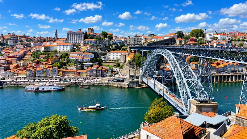
Porto
Porto is a compact northern city of steep streets, granite architecture, riverfront views, historic districts and strong local character.
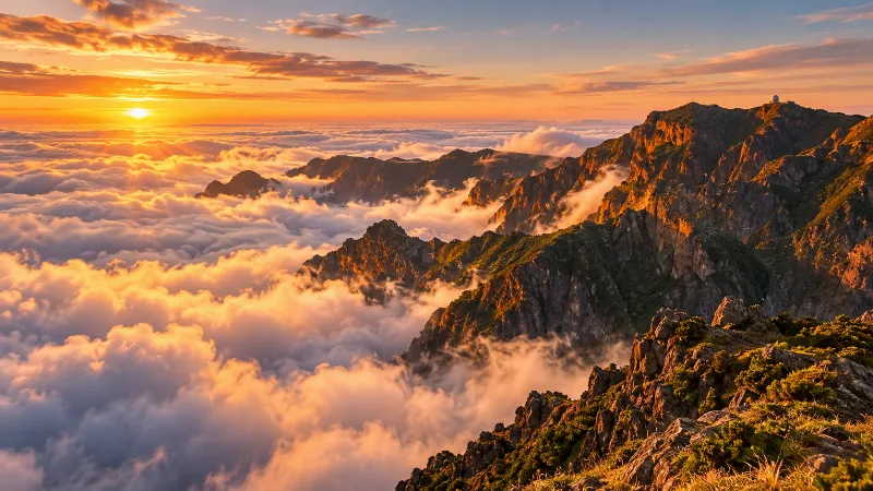
Madeira
Explore Madeira through Funchal, dramatic mountains, levada walks, subtropical gardens, volcanic coastlines and distinctive Atlantic island landscapes.
São Vicente
São Vicente is a small municipality on Madeira's north coast, set in a deep valley beneath steep mountain slopes and known for its lava-tube caves, its basalt parish church and the laurel forest that closes in around the village.
Porto Moniz Natural Pools and Volcanic Coastline
On Madeira's north-western coast, the village of Porto Moniz shelters a cluster of tidal pools carved out of black basalt, where Atlantic water washes into the rock along one of the island's most dramatic shorelines.
Ribeira Brava
Ribeira Brava is a small town on Madeira's southern coast, built where a deep river valley opens onto the Atlantic. Its parish church, coastal fort and terraced banana slopes give it a character distinct from the busier resorts further east.
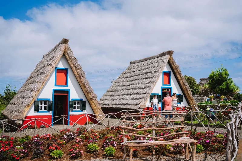
Santana
Santana is a town on Madeira's north coast, known for its steep-roofed thatched houses and for the mountains that rise directly behind it. It is a working Portuguese town rather than a resort, surrounded by terraced fields and laurel forest.