
Covilhã
Covilhã grew wealthy on wool combed from the Serra da Estrela and now stands as the mountain city of Portugal's Beira Interior, with a steep old quarter, a university in converted mills and the high summits close at hand.
Covilhã is a city in the Beira Interior of central Portugal, laid across the eastern and southern flanks of the Serra da Estrela, the highest mountain range in mainland Portugal. Its streets climb sharply from the valley floor, and the granite summits above the town are visible from much of the lower city. For centuries one of the country's leading wool-manufacturing centres, it is now a university city and the main urban gateway to the mountains, with some 46,000 people living in the municipality.
Location and general character
The municipality belongs to the district of Castelo Branco and covers about 555 square kilometres, divided into 21 parishes that run from the high plateaux down to valleys of oak and pine. It borders Belmonte and Guarda to the north and east, Fundão to the south, and Manteigas and Seia to the west. The city itself occupies terraces and ravines between roughly 450 and 800 metres above sea level, which makes it one of the highest urban centres in Portugal and gives it cold, wet winters with regular frost and occasional snow, followed by hot, dry summers. Because most of the built-up area faces east and south, the older quarters hold the morning sun while the upper slopes stay in shade for longer. Two streams, the Ribeira da Carpinteira and the Ribeira da Goldra, cut deep channels through the town, and their gradients shaped both the street pattern and the earliest mills.
Wool, water and industry
Sheep grazed on the high pastures long before any factory existed, and wool became the town's fortune. From the medieval period, fleeces were gathered, washed in the cold running water of the range, spun and woven locally. A Jewish community settled from the twelfth century and widened the town's trading contacts, and by the sixteenth century Covilhã cloth was sold well beyond the region. The industry was reorganised in the 1760s, when the crown, under the Marquis of Pombal, installed the Real Fábrica de Panos beside the Ribeira da Goldra; the castle, badly damaged in the 1755 earthquake, was quarried for its stone. Water-powered machinery arrived in the nineteenth century and steam followed, and mills, chimneys and workers' housing spread along the streams. Covilhã was raised to city status in 1870 and was long described as the Portuguese Manchester. Restructuring from the 1970s onwards closed most of the large mills, and the firms that remain concentrate on technical fabrics and specialised cloth. Several former factories now belong to the university or to the wool museum, so industrial heritage sits inside the working city rather than apart from it.
Architecture of a hillside city
The historic centre is a dense web of narrow, stepped lanes, granite stairways and small squares that follow the contours. Buildings are usually of granite blocks or whitewashed render with stone surrounds, and older houses keep wooden balconies and tall chimneys. Remnants of the twelfth-century walls survive, including the Portas do Sol, a former town gate that now frames a viewpoint over the roofs and the Carpinteira ravine. Close by are the castle remains, the pelourinho, the parish church of Santa Maria Maior with its blue and white tiles, the Misericórdia church and the former Convento de Santo António. The twentieth-century town took a different form further up, with long terraces of mill workers' houses beside the factories. Recent decades added the pedestrian bridge over the Ribeira da Carpinteira, designed by João Luís Carrilho da Graça, which stands some 52 metres above the stream, together with public lifts and a funicular that spare residents the climb.
Mountains, water and the natural park
Covilhã lies within the Serra da Estrela Natural Park, created in 1976 and the largest protected area in Portugal, extending over roughly 1,000 square kilometres. Glaciers shaped the range, leaving cirques, rounded boulders and steep-sided valleys; the Covão d'Ametade and the Zêzere valley near Manteigas are the best-known examples. Torre, at 1,993 metres, is the highest point in mainland Portugal and can be reached on foot or by road, and the small ski area on its upper slopes opens when snow allows. Below the summits the slopes carry Pyrenean oak, chestnut and pine, with broom, juniper and grassland higher up; the range also shelters birds of prey and feeds the streams that supply the towns beneath it. In the south of the municipality, the spa parish of Unhais da Serra uses warm mineral water that rises through the granite.
Local culture and everyday life
The University of Beira Interior, founded in 1986, brought students into a town previously shaped almost entirely by mill work, and it occupies converted factories and new buildings close to the centre. Term-time life fills the cafés and libraries around the Praça do Município, and the university also runs the wool museum, which preserves machinery, pattern books and dye works across three sites. The municipal market shows what the surrounding parishes produce: Serra da Estrela cheese with protected designation of origin status, requeijão, cured sausages, chestnuts, honey and mountain bread. Religious observance still marks part of the year with processions and saints' days in the older parishes, while walking, climbing and winter trips to the snow are ordinary weekend habits rather than tourist excursions. Since 2011 the WOOL urban art festival has added several dozen large murals to the old quarter, and in 2021 the city was recognised as a UNESCO Creative City in the field of design. The fifteenth-century traveller Pêro da Covilhã, sent to gather information on the routes to India, remains its best-known native son.
Notable places
- Portas do Sol: the surviving medieval gate and the adjoining stretch of wall, now a viewing terrace over the lower town.
- Museu de Lanifícios: the wool museum, spread across the Real Fábrica de Panos, the Real Fábrica Veiga and an open-air drying ground with its stone rows of iron-toothed frames.
- Praça do Município: the civic heart, with the town hall, the pelourinho and the church of Santa Maria Maior a few steps away.
- Penhas da Saúde: a mountain settlement at around 1,500 metres, the usual starting point for walks and for the road up to Torre.
- Ponte da Carpinteira: the modern footbridge crossing the ravine between the old centre and the newer quarters.
- Unhais da Serra: a small spa parish where warm spring water feeds the baths.
- Teixoso and Tortosendo: neighbouring parishes whose mills and workers' housing show how far the textile economy spread beyond the city boundary.
Nearby destinations
West of the city, the Zêzere valley and the village of Manteigas give access to the glaciated heart of the range, with the viewpoint of Penhas Douradas above them. Seia, further north-west, holds the bread museum and marks the western approach to the summits, while Loriga, in the adjoining municipality, has its own deep valley and cold river beaches. Belmonte to the north-east is known for its Jewish heritage and for the navigator Pedro Álvares Cabral, and Guarda beyond it is the highest city in Portugal, with a granite cathedral and a medieval street pattern. South of Covilhã, Fundão sits at the centre of a cherry-growing district, and further south Castelo Branco offers the formal gardens of the former episcopal palace. The historic granite and schist villages of Sortelha, Linhares da Beira and Piódão lie within easy reach by road, and the mountain road that climbs from Covilhã past Penhas da Saúde to Torre and down towards Seia crosses the highest ground in the country.
Related content
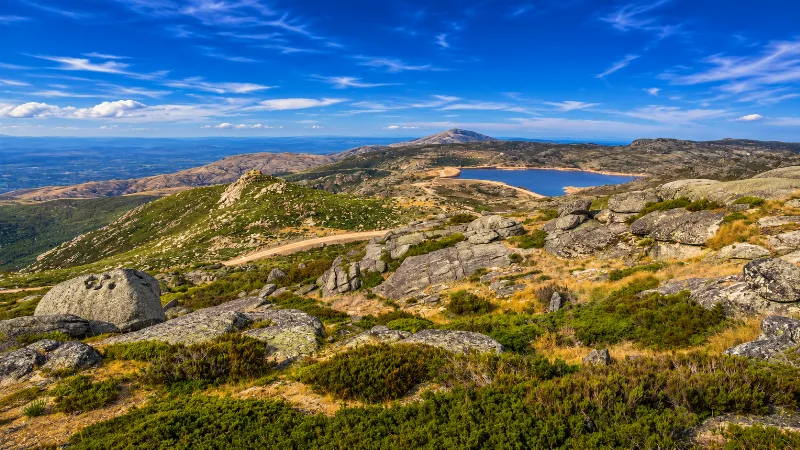
Serra da Estrela
Serra da Estrela is mainland Portugal’s highest mountain range, with granite plateaus, glacial valleys, villages, hiking routes and dramatic seasonal weather.
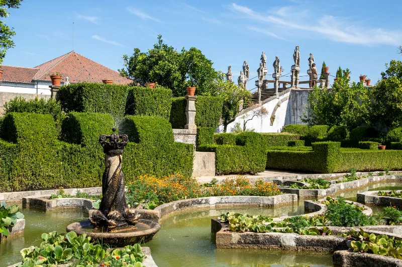
Castelo Branco
Castelo Branco is the district capital of Portugal's Beira Baixa, a hill town known for its Templar castle ruins, a baroque episcopal garden and a long tradition of silk-on-linen embroidery.
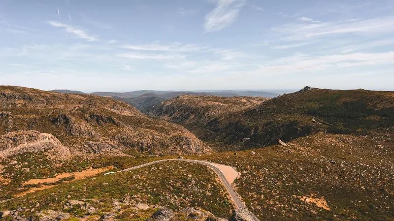
Guarda
Guarda is Portugal's highest city, set on a granite plateau beside the Serra da Estrela. This guide looks at its medieval streets, Gothic cathedral, Jewish heritage and mountain surroundings.
Serra da Estrela Granite Landscape and Glacial Valley
The highest ground in mainland Portugal is a weathered granite massif where ice once carved cirques, trough valleys and moraines. The Zêzere valley preserves some of the clearest glacial scenery in the country.
The Mondego River Valley from Serra da Estrela to Coimbra
The Mondego is Portugal's longest river to rise and finish entirely within the country, linking the granite heights of Serra da Estrela with the Atlantic at Figueira da Foz. Its valley passes through mountain scenery, wooded gorges, historic towns and a wide agricultural plain.
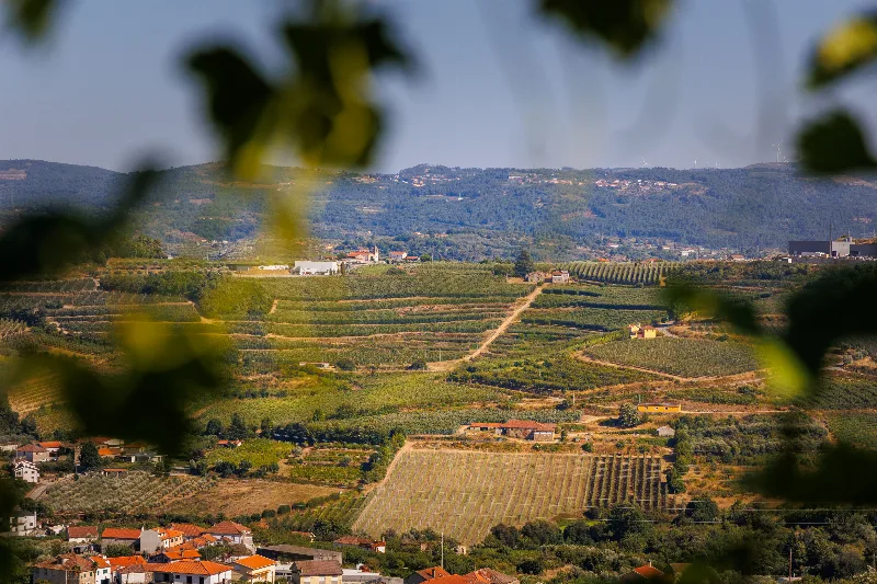
Viseu
A granite city in the Beira Alta of north-central Portugal, Viseu combines an old cathedral quarter, a national museum devoted to Renaissance painting and a position at the heart of the Dão wine region.